Southwark
Southwark/24/AP/3537
Rotherhithe Pier 265A Rotherhithe Street London Southwark SE16 5HW
- Reference
- Southwark/24/AP/3537
- Authority
- Southwark
- Address
- Rotherhithe Pier 265A Rotherhithe Street London Southwark SE16 5HW
- Postcode
- SE16 5HW
- Status
- Decided
- Decision
- Agreed - for App Types VLA and VNMC
- Received
- 2 Dec 2024
- Validated
- 3 Dec 2024
- Started
- 3 Dec 2024
- Decided
- 12 Dec 2024
- Source council
- Southwark
- Council source record
- View public record
- Public data licence
- Open Government Licence v3.0
- Record updated
- 18 Jul 2026
- SEO index generated
- 24 Jul 2026
Location
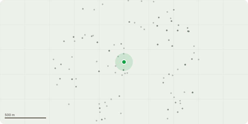
Approximate location
Proposal
Non-material amendment to planning permission ref: 23/AP/3279 dated 13/11/2024 for 'Proposed demolition and replacement of existing pier (including new pontoon, canting brow and piles), alongside refurbishment of existing landside peninsula and installation of proposed lightweight over dock walkway, to facilitate a new fully accessible electric cross-river ferry service from Rotherhithe Pier to Canary Wharf Pier'. The amendments include the following: - slight increase in the footprint of the consented pontoon from 36m x 16m to 36m x 19m pushing slightly out both towards the main river channel and landslide. This change has been made following design progression of the auto-mooring system and subsequent requirement for more space on the pontoon. - slight decrease in the Brow length from 62m to 60m and thus slightly steeper gradient at low water to accommodate the above increase in pontoon footprint, with limited incursion towards the main river navigation channel. - addition of lighting on the over dock walkway which will be subject to the same light restrictions as the brow and fixed bridge for safety purposes.
Key dates
- Received 2 Dec 2024
- Validated 3 Dec 2024
- Started 3 Dec 2024
- Decided 12 Dec 2024
Planning history / related applications
No related planning applications have been identified in the current public OGL dataset.
Inside plotEdge
Go beyond the public record
This page is the public OGL record. plotEdge adds the private intelligence layer for this site - open it in the app to unlock:
- Ownership & title Registered owner and title from HM Land Registry.
- Viability & build potential Site scoring and development upside.
- Constraints Flood risk, green belt, conservation areas and designations.
- Approval signal Planning risk and approval-likelihood analysis.
- Comparable applications Decisions on similar nearby sites, side by side.
- Status alerts Get notified the moment this application changes.
Source: public planning application data from Southwark, reused under the Open Government Licence v3.0. View the council source record. Council documents and drawings are not republished on plotEdge.