Southwark
Southwark/24/AP/3424
76 Burbage Road London Southwark SE24 9HE
- Reference
- Southwark/24/AP/3424
- Authority
- Southwark
- Address
- 76 Burbage Road London Southwark SE24 9HE
- Postcode
- SE24 9HE
- Status
- Granted
- Decision
- Tree Works/Conservation Area - GRANTED
- Received
- 20 Nov 2024
- Validated
- 21 Nov 2024
- Started
- 21 Nov 2024
- Decided
- 19 Dec 2024
- Source council
- Southwark
- Council source record
- View public record
- Public data licence
- Open Government Licence v3.0
- Record updated
- 18 Jul 2026
- SEO index generated
- 24 Jul 2026
Location
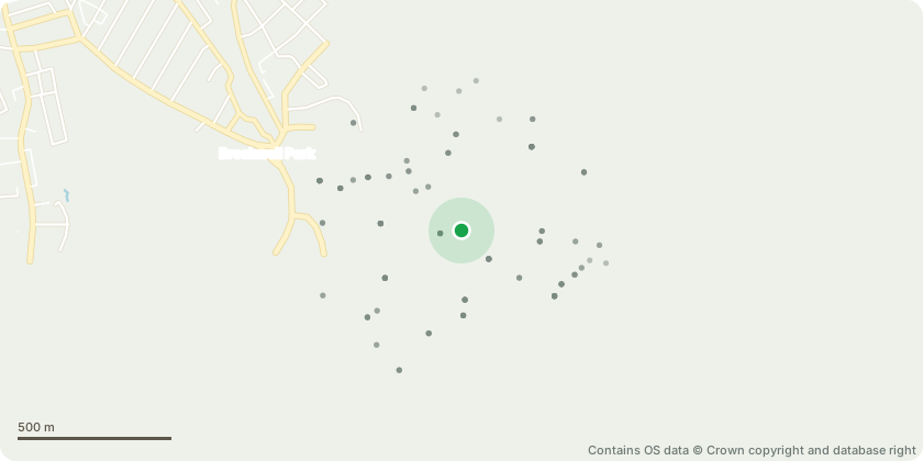
Approximate location - Contains OS data © Crown copyright and database right
Proposal
T5. Oak Tree. 9 metres in height. Single stemmed and vertical with a slightly unbalanced crown. Facilitative pruning to ensure an adequate clearance to prevent accidental breakage. Down lift the lower branches by 1 metres so the branches are at least 3.5 metres where they over hang the proposed new garden room. Tree is very overgrown and the low limbs at taking over quite a lot of the garden. Situated in the rear garden.T9. Honey Locust. 15 metres in height. Twin stemmed at 2 metres with an unbalanced crown. Fell and stump grind. Tree is very overgrown and taking up a lot of the garden. Also blocking a lot of natural sunlight. Situated in the rear garden.T6. Ash Tree. 16 metres in height. Single stemmed and vertical with a slightly unbalanced crown. Fell and stump grind. Advanced Symptoms of Ash dieback, sparse canopy and significant deadwood. Tree is very overgrown and taking up a lot of the garden space. Also blocking a lot of natural sunlight. Situated in the rear garden.T7. Ash Tree. 12 metres in height. Twin stemmed at 0.5 metres with an unbalanced crown. Symptoms of an early infection of Ash dieback and very overgrown, blocking a lot of natural sunlight in the rear garden. Situated in the rear garden.Tree replacements as directed by the Dulwich Estate.
Key dates
- Received 20 Nov 2024
- Validated 21 Nov 2024
- Started 21 Nov 2024
- Decided 19 Dec 2024
Planning history / related applications
No related planning applications have been identified in the current public OGL dataset.
Inside plotEdge
Go beyond the public record
This page is the public OGL record. plotEdge adds the private intelligence layer for this site - open it in the app to unlock:
- Ownership & title Registered owner and title from HM Land Registry.
- Viability & build potential Site scoring and development upside.
- Constraints Flood risk, green belt, conservation areas and designations.
- Approval signal Planning risk and approval-likelihood analysis.
- Comparable applications Decisions on similar nearby sites, side by side.
- Status alerts Get notified the moment this application changes.
Source: public planning application data from Southwark, reused under the Open Government Licence v3.0. View the council source record. Council documents and drawings are not republished on plotEdge.