Southwark
Southwark/24/AP/3357
Barnwell House St Giles Road London Southwark SE5 7RP
- Reference
- Southwark/24/AP/3357
- Authority
- Southwark
- Address
- Barnwell House St Giles Road London Southwark SE5 7RP
- Postcode
- SE5 7RP
- Status
- Granted
- Decision
- Tree Works/TPO Consent - GRANTED
- Received
- 13 Nov 2024
- Validated
- 15 Nov 2024
- Started
- 15 Nov 2024
- Decided
- 18 Dec 2024
- Source council
- Southwark
- Council source record
- View public record
- Public data licence
- Open Government Licence v3.0
- Record updated
- 18 Jul 2026
- SEO index generated
- 24 Jul 2026
Location
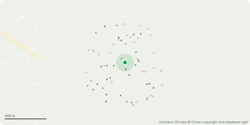
Approximate location - Contains OS data © Crown copyright and database right
Proposal
Nbr1 Plum - Crown Reduction - To reduce primary branch over estate by up to 2 metres and shape accordingly. Large tree (dbh 450-700mm) T3 Common Lime - Crown Reduction - To reduce back to previous reduction points, up to 3 metres. Large tree (dbh 450-700mm) T5 Wild Cherry - Large tree (dbh 450-700mm) REMOVE DEADWOODT10 Common Lime - Crown lift - To raise the lower canopy to 3 metres from ground level and remove basal growth. Large tree (dbh 450-700mm)T11 Wild Cherry - Crown lift - To raise the lower canopy to 3 metres from ground level over pavement. Small tree (dbh 100-250mm)T14 Rowan - Significant dieback of upper crown. To carefully section fell as close to ground level. Small tree (dbh 100-250mm). Replant Crataegus persimilis 'Prunifolia Splendens'. MINIMUM 12-14CM STEM GIRTHT16 Cherry - Crown lift - To raise the lower canopy to approximately 3 metres over the footpath and 5 metres over the road. Medium tree (dbh 250-450mm).T17 London Plane - To reduce the overall canopy by up to 3 metres, shape accordingly and remove major deadwood throughout the canopy. Extra large tree (dbh 700+ mm) CROWN LIFT BY UP 4m ABOVE CARRIAGEWAY, REMOVE DEADWOODT18 Sycamore - Dead tree - To carefully section fell as close to ground level as possible. Large tree (dbh 450-700mm) PLANT 1 x TILIA X EUROPAEA MINIMUM 12-14CM STEM GIRTH
Key dates
- Received 13 Nov 2024
- Validated 15 Nov 2024
- Started 15 Nov 2024
- Decided 18 Dec 2024
Planning history / related applications
No related planning applications have been identified in the current public OGL dataset.
Inside plotEdge
Go beyond the public record
This page is the public OGL record. plotEdge adds the private intelligence layer for this site - open it in the app to unlock:
- Ownership & title Registered owner and title from HM Land Registry.
- Viability & build potential Site scoring and development upside.
- Constraints Flood risk, green belt, conservation areas and designations.
- Approval signal Planning risk and approval-likelihood analysis.
- Comparable applications Decisions on similar nearby sites, side by side.
- Status alerts Get notified the moment this application changes.
Source: public planning application data from Southwark, reused under the Open Government Licence v3.0. View the council source record. Council documents and drawings are not republished on plotEdge.