Southwark
Southwark/24/AP/2390
Sampson House 64 Hopton Street SE1 9JH & Ludgate House 245 Blackfriars Road SE1 & Railway Arches.
- Reference
- Southwark/24/AP/2390
- Authority
- Southwark
- Address
- Sampson House 64 Hopton Street SE1 9JH & Ludgate House 245 Blackfriars Road SE1 & Railway Arches.
- Postcode
- SE1 9JH
- Status
- Under consideration/assessment
- Received
- 16 Aug 2024
- Started
- 16 Aug 2024
- Source council
- Southwark
- Council source record
- View public record
- Public data licence
- Open Government Licence v3.0
- Record updated
- 18 Jul 2026
- SEO index generated
- 24 Jul 2026
Location
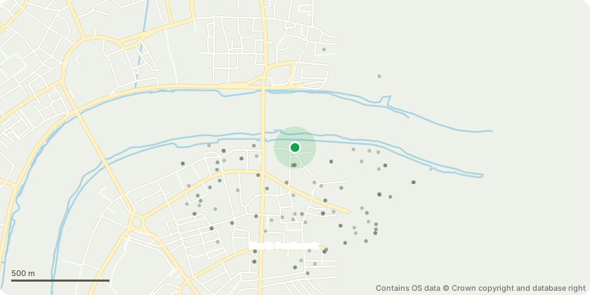
Approximate location - Contains OS data © Crown copyright and database right
Proposal
Partial discharge of condition 16 'Cycle Storage' (in relation to BY2 only), required by planning permission ref no. 18/AP/3696 (as amended by ref 24/AP/0284): Minor material amendment to 18/AP/1702 which was an amendment to 17/AP/286 and 12/AP/3940 in order to make external and internal amendments to Ludgate C comprising:Amendments to the roof top plant which has been reoriented and consolidated which ensures that it is no longer visible in the key views from the east along Southwark Street and creates the opportunity for a brown roof over the plant area.The external alterations to the roof plant allow internal re-arrangements on the upper floors which provide additional office space (1,180sqm GIA) with the insertion of a new mezzanine level.Alterations to the facade including the size and orientation of the glass panels.Enhancements to the base of the building around the newly created public realm including the treatment of the columns and the soffit.
Key dates
- Received 16 Aug 2024
- Started 16 Aug 2024
Planning history / related applications
No related planning applications have been identified in the current public OGL dataset.
Inside plotEdge
Go beyond the public record
This page is the public OGL record. plotEdge adds the private intelligence layer for this site - open it in the app to unlock:
- Ownership & title Registered owner and title from HM Land Registry.
- Viability & build potential Site scoring and development upside.
- Constraints Flood risk, green belt, conservation areas and designations.
- Approval signal Planning risk and approval-likelihood analysis.
- Comparable applications Decisions on similar nearby sites, side by side.
- Status alerts Get notified the moment this application changes.
Source: public planning application data from Southwark, reused under the Open Government Licence v3.0. View the council source record. Council documents and drawings are not republished on plotEdge.