Southwark
Southwark/24/AP/2346
434 Old Kent Road London Southwark SE1 5AG
- Reference
- Southwark/24/AP/2346
- Authority
- Southwark
- Address
- 434 Old Kent Road London Southwark SE1 5AG
- Postcode
- SE1 5AG
- Status
- Granted
- Decision
- Variation Minor Material Changes Granted
- Received
- 13 Aug 2024
- Validated
- 15 Aug 2024
- Started
- 15 Aug 2024
- Decided
- 16 Dec 2024
- Source council
- Southwark
- Council source record
- View public record
- Public data licence
- Open Government Licence v3.0
- Record updated
- 18 Jul 2026
- SEO index generated
- 24 Jul 2026
Location
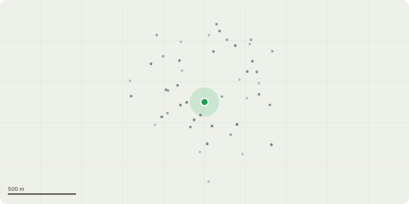
Approximate location
Proposal
Variation of Condition 29 'Hours of Use' attached to planning permission 11/AP/1180 in respect of commercial unit 434 only, to extend the opening hours on Mondays to Saturdays from the consented times of 08:00-23:00 to the proposed times of 07:00-23:00 (the consented times on Sundays of 09:00-22:30 will remain unchanged). The development description for 11/AP/1180 was as follows:"Demolition of existing buildings and the construction of a six storey plus basement building fronting onto Old Kent Road with 283sqm of floorspace at ground floor level for any use within Class A1/A2//A3/A5/B1 and/or D1 with residential above, a series of three residential buildings at the southern end of the site at five storeys, and a four storey residential building fronting Ossory Road, all to provide a total of 85 residential units. Provision of vehicular access from Ossory Road, servicing bay, basement car parking, landscaping, open space and refuse/recycling facilities".
Key dates
- Received 13 Aug 2024
- Validated 15 Aug 2024
- Started 15 Aug 2024
- Decided 16 Dec 2024
Planning history / related applications
No related planning applications have been identified in the current public OGL dataset.
Inside plotEdge
Go beyond the public record
This page is the public OGL record. plotEdge adds the private intelligence layer for this site - open it in the app to unlock:
- Ownership & title Registered owner and title from HM Land Registry.
- Viability & build potential Site scoring and development upside.
- Constraints Flood risk, green belt, conservation areas and designations.
- Approval signal Planning risk and approval-likelihood analysis.
- Comparable applications Decisions on similar nearby sites, side by side.
- Status alerts Get notified the moment this application changes.
Source: public planning application data from Southwark, reused under the Open Government Licence v3.0. View the council source record. Council documents and drawings are not republished on plotEdge.