Southampton
Southampton/26/00055/TPO
Oakwood Primary School Sandpiper Road Southampton SO16 8FD
- Reference
- Southampton/26/00055/TPO
- Authority
- Southampton
- Application type
- Tree preservation order
- Address
- Oakwood Primary School Sandpiper Road Southampton SO16 8FD
- Postcode
- SO16 8FD
- Status
- Approved
- Decision
- Approve with Conditions
- Received
- 11 Mar 2026
- Validated
- 11 Mar 2026
- Started
- 11 Mar 2026
- Decided
- 5 May 2026
- Source council
- Southampton
- Council source record
- View public record
- Public data licence
- Open Government Licence v3.0
- Record updated
- 18 Jul 2026
- SEO index generated
- 24 Jul 2026
Location
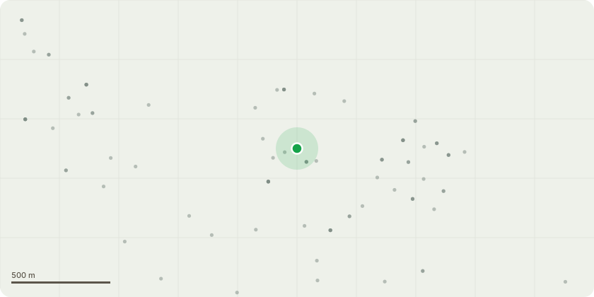
Approximate location
Proposal
1 2031 Raise low branches to 4m7 2068 Remove split limb 9n SSE at 7m11 2102 Raise low branches to 4m13 2104 Raise low branches to 4m14 2105 Raise low branches to 4m22 2115 Raise low branches to 4m26 2121 Raise low branches to 4m37 2134 Raise low branches to 4m45 2148 Remove large deadwood over footpath and playing field,49 2151 Remove large deadwood over playground51 2155 Crown lift low branches to 4m59 2172 Remove deadwood over playarea60 2173 Remove deadwood over playground area61 2174 Raise low branches to 4m63 2177 Remove one piece of deadwood over wooden benches82 2208 Remove all large deadwood97 2236 Remove large deadwood over playground98 2239 Raise low branches over container to create 2.5m clearance104 2247 Remove large deadwood over playground106 2249 Remove all large deadwood111 2254 Remove silver birch with 45% lean TPO permission granted123 2270 Remove silver birch that is growing into fence, medium tree. TPO permission granted124 2272 Remove low overhanging branches from both beeches to give 4m clearance over tarmac128 2279 Raise low branches over playground to 4m129 2282 Raise low branches over playground to 4m
Key dates
- Received 11 Mar 2026
- Validated 11 Mar 2026
- Started 11 Mar 2026
- Decided 5 May 2026
Planning history / related applications
No related planning applications have been identified in the current public OGL dataset.
Inside plotEdge
Go beyond the public record
This page is the public OGL record. plotEdge adds the private intelligence layer for this site - open it in the app to unlock:
- Ownership & title Registered owner and title from HM Land Registry.
- Viability & build potential Site scoring and development upside.
- Constraints Flood risk, green belt, conservation areas and designations.
- Approval signal Planning risk and approval-likelihood analysis.
- Comparable applications Decisions on similar nearby sites, side by side.
- Status alerts Get notified the moment this application changes.
Source: public planning application data from Southampton, reused under the Open Government Licence v3.0. View the council source record. Council documents and drawings are not republished on plotEdge.