Southampton
Southampton/25/00195/TPO
Western Community Hospital William Macleod Way Southampton SO16 4XE
- Reference
- Southampton/25/00195/TPO
- Authority
- Southampton
- Application type
- Tree preservation order
- Address
- Western Community Hospital William Macleod Way Southampton SO16 4XE
- Postcode
- SO16 4XE
- Status
- Decided
- Decision
- TPO Permission and Refusal Issued
- Received
- 18 Jul 2025
- Validated
- 18 Jul 2025
- Started
- 18 Jul 2025
- Decided
- 8 Sept 2025
- Source council
- Southampton
- Council source record
- View public record
- Public data licence
- Open Government Licence v3.0
- Record updated
- 18 Jul 2026
- SEO index generated
- 24 Jul 2026
Location
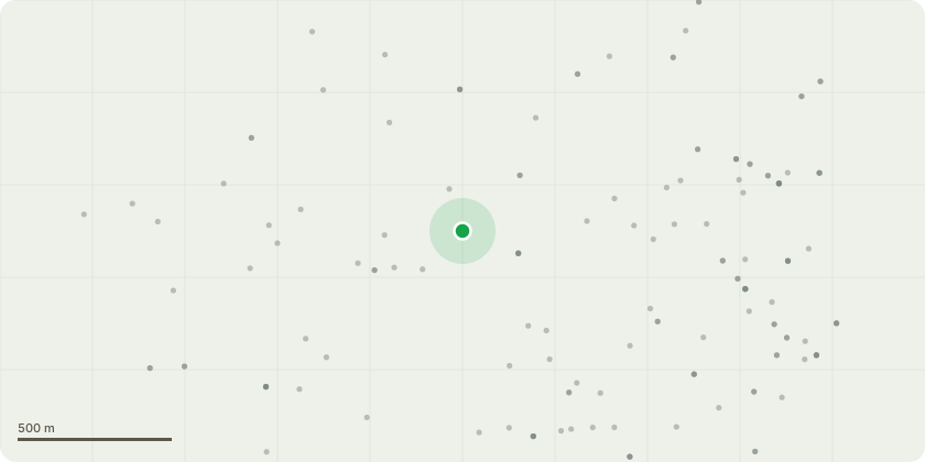
Approximate location
Proposal
G1 - Group of Acer spp. 1-2M crown reduction work and crown lift to 3m to keep clear of boundary fences and for CCTV site linesG2 - Hazel and Hawthorn group to target prune for CCTV line of sight. Reducing lateral growth by approx. 1mG3 - Group of Birch and Cherry. Crown reduce by 1-2m, crown lift to 3m to clear signs. Line of sight CCTV camera workG4 - Fell small self set sycamore blocking site entrance signs and coppice buddlejaG5 - Birch and Sorbs group to crown lift to 4m for CCTV line of sight and crown reduce by 1-2m to keep clear of security fencesG6 - Fell dead tree in hedge row and crown reduce 2x Maple species by 2m for CCTV line of sightG7 - Ash trees on bank at rear carpark. Reduce lateral growth by up to 3m to beyond curb edge to reduce leaf litter/debris over parked cars
Key dates
- Received 18 Jul 2025
- Validated 18 Jul 2025
- Started 18 Jul 2025
- Decided 8 Sept 2025
Planning history / related applications
No related planning applications have been identified in the current public OGL dataset.
Inside plotEdge
Go beyond the public record
This page is the public OGL record. plotEdge adds the private intelligence layer for this site - open it in the app to unlock:
- Ownership & title Registered owner and title from HM Land Registry.
- Viability & build potential Site scoring and development upside.
- Constraints Flood risk, green belt, conservation areas and designations.
- Approval signal Planning risk and approval-likelihood analysis.
- Comparable applications Decisions on similar nearby sites, side by side.
- Status alerts Get notified the moment this application changes.
Source: public planning application data from Southampton, reused under the Open Government Licence v3.0. View the council source record. Council documents and drawings are not republished on plotEdge.