Southampton
Southampton/25/00139/TPO
Wessex Lane Reception Wessex Lane Southampton SO18 2NU
- Reference
- Southampton/25/00139/TPO
- Authority
- Southampton
- Application type
- Tree preservation order
- Address
- Wessex Lane Reception Wessex Lane Southampton SO18 2NU
- Postcode
- SO18 2NU
- Status
- Approved
- Decision
- Approve with Conditions
- Received
- 9 Jun 2025
- Validated
- 9 Jun 2025
- Started
- 9 Jun 2025
- Decided
- 21 Jul 2025
- Source council
- Southampton
- Council source record
- View public record
- Public data licence
- Open Government Licence v3.0
- Record updated
- 18 Jul 2026
- SEO index generated
- 24 Jul 2026
Location
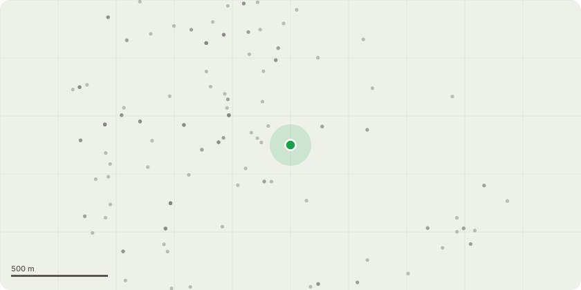
Approximate location
Proposal
T357 Hawthorn - Coppice to original stool height T358 willow - FellT364 Whitebeam - FellT374 Cypress - Fell (On boundary fence line. Overhangs Road. Dead dying Tree)T390 Raywood Ash - Fell T393 Silver Birch - Cut back branches from buildings to give clearance of 1-2m. Remove major dead woodT394 Silver Birch - Cut back branches from buildings to give clearance of 1-2m. Remove major dead woodT395 Birch - Cut back branches from buildings to give clearance of 1-2m. T412 Foxglove Tree - Cut back branches from building to give clearance of 2m. Remove major dead wood. Remove epicormic growth to 3m. T42 Birch - Remove major dead wood. Cut back branches from building to give clearance of 1-2m. Insert flexible brace system between co-dominant stems to East over TTT437 Turkey Oak - Cut back branches from building and lamp column to give clearance of 1-2m. Remove major dead wood T443 Lime - Cut back branches from building to give clearance of 2m.T444 Lime - Cut back branches from building to give clearance of 2m. Remove major dead wood. T463 Birch - Cut back branches from building to give clearance of 2m.T488 Ash - FellT513-516 Ash - Fell T517 Ash - Fell T518 Ash - Fell
Key dates
- Received 9 Jun 2025
- Validated 9 Jun 2025
- Started 9 Jun 2025
- Decided 21 Jul 2025
Planning history / related applications
No related planning applications have been identified in the current public OGL dataset.
Inside plotEdge
Go beyond the public record
This page is the public OGL record. plotEdge adds the private intelligence layer for this site - open it in the app to unlock:
- Ownership & title Registered owner and title from HM Land Registry.
- Viability & build potential Site scoring and development upside.
- Constraints Flood risk, green belt, conservation areas and designations.
- Approval signal Planning risk and approval-likelihood analysis.
- Comparable applications Decisions on similar nearby sites, side by side.
- Status alerts Get notified the moment this application changes.
Source: public planning application data from Southampton, reused under the Open Government Licence v3.0. View the council source record. Council documents and drawings are not republished on plotEdge.