Southampton
Southampton/24/00341/TPO
House C Hartley Grove 40 Glen Eyre Road Southampton SO16 3FY
- Reference
- Southampton/24/00341/TPO
- Authority
- Southampton
- Application type
- Tree preservation order
- Address
- House C Hartley Grove 40 Glen Eyre Road Southampton SO16 3FY
- Postcode
- SO16 3FY
- Status
- Approved
- Decision
- Approve with Conditions
- Received
- 27 Nov 2024
- Validated
- 27 Nov 2024
- Started
- 27 Nov 2024
- Decided
- 21 Jan 2025
- Source council
- Southampton
- Council source record
- View public record
- Public data licence
- Open Government Licence v3.0
- Record updated
- 18 Jul 2026
- SEO index generated
- 24 Jul 2026
Location
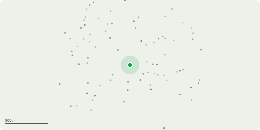
Approximate location
Proposal
T300 Indian Bean - Crown Lift to 3m. Cut back branches from buildings to give clearance of 1-2m. Dead Wood.T325 Beech - Crown Lift to 6m and remove Epicormic Growth over highway and cut back from light column to give 1-2m clearance. Dead Wood. Fully clear vegetationT275 Oak - Reduce x 2 large branch stubs over car park by 4m and coronet cut. Prune old failure stub to tidy at BBR. Remove all other major deadwood.T285 Oak -Dead Wood. Crown Lift branches to 6m Crown break over adjacent property. Coppice Laurel and clear debris to allow tree inspection.T212 Pine - Fell to monolith.T196 Ash - Fell close to ground level as part of Ash removal programme.T714 Ash (Common)- FellT136 Beech - Cut back branches from building to give clearance of 2m. Sever Ivy at ground level and strip to 2m and remove section. Crown Lift to 4m.
Key dates
- Received 27 Nov 2024
- Validated 27 Nov 2024
- Started 27 Nov 2024
- Decided 21 Jan 2025
Planning history / related applications
No related planning applications have been identified in the current public OGL dataset.
Inside plotEdge
Go beyond the public record
This page is the public OGL record. plotEdge adds the private intelligence layer for this site - open it in the app to unlock:
- Ownership & title Registered owner and title from HM Land Registry.
- Viability & build potential Site scoring and development upside.
- Constraints Flood risk, green belt, conservation areas and designations.
- Approval signal Planning risk and approval-likelihood analysis.
- Comparable applications Decisions on similar nearby sites, side by side.
- Status alerts Get notified the moment this application changes.
Source: public planning application data from Southampton, reused under the Open Government Licence v3.0. View the council source record. Council documents and drawings are not republished on plotEdge.