Southampton
Southampton/24/00322/TPO
Glen Eyre Hall Main Building Glen Eyre Road Southampton SO16 3UF
- Reference
- Southampton/24/00322/TPO
- Authority
- Southampton
- Application type
- Tree preservation order
- Address
- Glen Eyre Hall Main Building Glen Eyre Road Southampton SO16 3UF
- Postcode
- SO16 3UF
- Status
- Approved
- Decision
- Approve with Conditions
- Received
- 26 Nov 2024
- Validated
- 26 Nov 2024
- Started
- 26 Nov 2024
- Decided
- 21 Jan 2025
- Source council
- Southampton
- Council source record
- View public record
- Public data licence
- Open Government Licence v3.0
- Record updated
- 18 Jul 2026
- SEO index generated
- 24 Jul 2026
Location
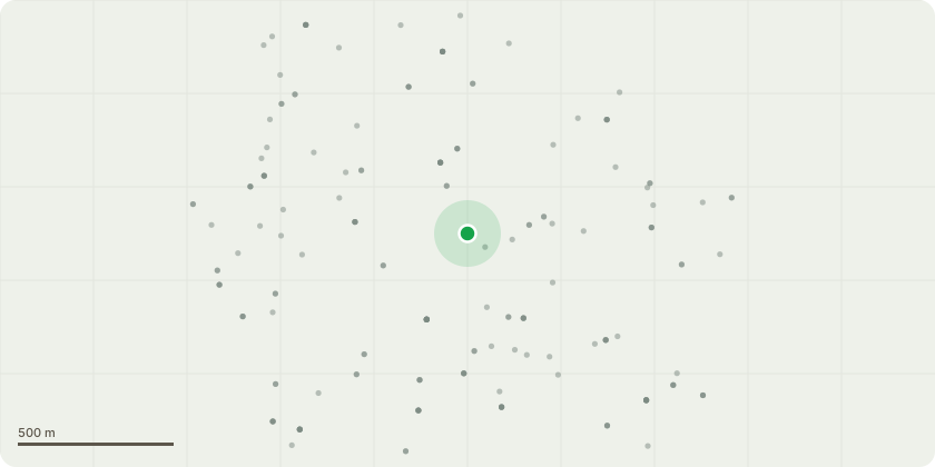
Approximate location
Proposal
T696 Holly- Remove dead wood. Sever Ivy at ground level and strip to 2m and remove section. Clear basal vegetation. T589 Oak (English)- Remove major dead wood T546 Goat Willow- Remove major dead wood.T535 Raywood Ash- Remove major deadwood and broken twigs stems.T517 Western Red Cedar- Remove major dead wood. Mulch in winter.T508 Oak (English)- Cut back branches from building to give clearance of 2m. Remove major dead wood and hanging split out limbs.T354 Cypress - Dead Wood remove storm damaged branches T479 False Acacia - Dead Wood Sever Ivy at ground level and strip to 2m and remove section clear vegetation T489 Oak - Dead Wood over path. Remove Epicormic Growth to 4m T390 Oak - Dead Wood. Remove epicormic growth to 6m. Clear vegetation around tree T403 Oak - Dead Wood. Crown Lift to 6m. Cut back branches from building to give clearance of 2m.T426 Oak - Dead Wood. Crown Reduce extended limbs over highway by 3m. T422 Oak - Dead Wood. Crown Reduce limbs over highway by 3m. T399 Larch - Fell T405 Rowan - Fell T391 Oak - Dead Wood. Remove epicormic growth to 6m. Crown reduce extended limb over highway by 3m. T392 Oak - Dead Wood. Crown Reduce by 2-3m to provide clearance from building to balance crown. Clear vegetation around tree
Key dates
- Received 26 Nov 2024
- Validated 26 Nov 2024
- Started 26 Nov 2024
- Decided 21 Jan 2025
Planning history / related applications
No related planning applications have been identified in the current public OGL dataset.
Inside plotEdge
Go beyond the public record
This page is the public OGL record. plotEdge adds the private intelligence layer for this site - open it in the app to unlock:
- Ownership & title Registered owner and title from HM Land Registry.
- Viability & build potential Site scoring and development upside.
- Constraints Flood risk, green belt, conservation areas and designations.
- Approval signal Planning risk and approval-likelihood analysis.
- Comparable applications Decisions on similar nearby sites, side by side.
- Status alerts Get notified the moment this application changes.
Source: public planning application data from Southampton, reused under the Open Government Licence v3.0. View the council source record. Council documents and drawings are not republished on plotEdge.