South Tyneside
South Tyneside/View more details for 250632
Tim Hortons Abingdon Way Boldon Colliery NE35 9PB
- Reference
- South Tyneside/View more details for 250632
- Authority
- South Tyneside
- Application type
- Advertisement Consent
- Address
- Tim Hortons Abingdon Way Boldon Colliery NE35 9PB
- Postcode
- NE35 9PB
- Status
- FINAL DECISION
- Decision
- Grant Permission with Conditions 28-11-2025
- Received
- 29 Oct 2025
- Started
- 29 Oct 2025
- Source council
- South Tyneside
- Council source record
- View public record
- Public data licence
- Open Government Licence v3.0
- Record updated
- 9 Jul 2026
- SEO index generated
- 24 Jul 2026
Location
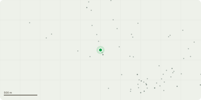
Approximate location
Proposal
Advertisement Consent for internally-illuminated and non-illuminated building and site signage. Building signage: (1) 11 Herbs and Spices Vinyl (2) Lets Get together Vinyl (3) Neon Bucket Portal (4,16) 2no Entrance Lightbox (5) Colonel & Bucket (6, 18) 2no Open Hours Vinyl (7, 12, 17) 3no Pull Vinyls (8, 19) 2no White KFC Letters (9) Hello "Boldon" (10,13) 2no KFC Lightboxes (11) Delivery Entrance Vinyl (14) Clucking' Good Vinyl (15) Freshly Made all Day Every Day Vinyl Site signage: (1) Totem sign (2) Double Sided Billboard (3,4) 2no Traffic Directional Signs (5) Height Restrictor (6,7) 2no Wall Mounted Leader Board (8) Speaker Post (9) Wall Mounted Menu Board
Key dates
- Received 29 Oct 2025
- Started 29 Oct 2025
Planning history / related applications
No related planning applications have been identified in the current public OGL dataset.
Inside plotEdge
Go beyond the public record
This page is the public OGL record. plotEdge adds the private intelligence layer for this site - open it in the app to unlock:
- Ownership & title Registered owner and title from HM Land Registry.
- Viability & build potential Site scoring and development upside.
- Constraints Flood risk, green belt, conservation areas and designations.
- Approval signal Planning risk and approval-likelihood analysis.
- Comparable applications Decisions on similar nearby sites, side by side.
- Status alerts Get notified the moment this application changes.
Source: public planning application data from South Tyneside, reused under the Open Government Licence v3.0. View the council source record. Council documents and drawings are not republished on plotEdge.