South Ribble
South Ribble/07/2026/00409/TPO
2 Middleforth Court Penwortham Preston Lancashire PR1 9JY
- Reference
- South Ribble/07/2026/00409/TPO
- Authority
- South Ribble
- Application type
- Tree preservation order
- Address
- 2 Middleforth Court Penwortham Preston Lancashire PR1 9JY
- Postcode
- PR1 9JY
- Status
- Unknown
- Decision
- Tree Works refused
- Received
- 1 Jun 2026
- Validated
- 4 Jun 2026
- Started
- 4 Jun 2026
- Decided
- 4 Jun 2026
- Source council
- South Ribble
- Council source record
- View public record
- Public data licence
- Open Government Licence v3.0
- Record updated
- 18 Jul 2026
- SEO index generated
- 24 Jul 2026
Location
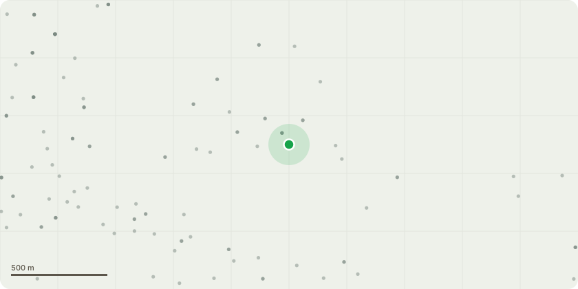
Approximate location
Proposal
Holly tree located in the centre of the rear garden ??? proposed removal.The tree has grown to a size that significantly restricts natural daylight to the house and garden. The dense evergreen canopy creates extensive shade throughout the year, resulting in poor grass growth, persistent moss, and ground conditions that remain damp for prolonged periods. The lack of sunlight has adversely affected the use and maintenance of the garden.The tree is also heavily covered in ivy, which makes it difficult to properly inspect its condition and raises concerns regarding its ongoing health, structural integrity, and future management.We therefore seek consent to remove the entire tree. The removal of the tree would improve natural light levels to the property and garden, allow the ground to dry more effectively, and reduce the persistent moss growth caused by the heavily shaded conditions. We will gladly replace the garden with more manageable plants and smaller trees. Thank you
Key dates
- Received 1 Jun 2026
- Validated 4 Jun 2026
- Started 4 Jun 2026
- Decided 4 Jun 2026
Planning history / related applications
No related planning applications have been identified in the current public OGL dataset.
Inside plotEdge
Go beyond the public record
This page is the public OGL record. plotEdge adds the private intelligence layer for this site - open it in the app to unlock:
- Ownership & title Registered owner and title from HM Land Registry.
- Viability & build potential Site scoring and development upside.
- Constraints Flood risk, green belt, conservation areas and designations.
- Approval signal Planning risk and approval-likelihood analysis.
- Comparable applications Decisions on similar nearby sites, side by side.
- Status alerts Get notified the moment this application changes.
Source: public planning application data from South Ribble, reused under the Open Government Licence v3.0. View the council source record. Council documents and drawings are not republished on plotEdge.