South Ribble
South Ribble/07/2026/00407/TPO
50 Park Road Penwortham Residential Park Penwortham Preston Lancashire PR1 9YD
- Reference
- South Ribble/07/2026/00407/TPO
- Authority
- South Ribble
- Application type
- Tree preservation order
- Address
- 50 Park Road Penwortham Residential Park Penwortham Preston Lancashire PR1 9YD
- Postcode
- PR1 9YD
- Status
- Unknown
- Decision
- Tree Works approved
- Received
- 1 Jun 2026
- Validated
- 19 Jun 2026
- Started
- 19 Jun 2026
- Decided
- 23 Jun 2026
- Source council
- South Ribble
- Council source record
- View public record
- Public data licence
- Open Government Licence v3.0
- Record updated
- 18 Jul 2026
- SEO index generated
- 24 Jul 2026
Location
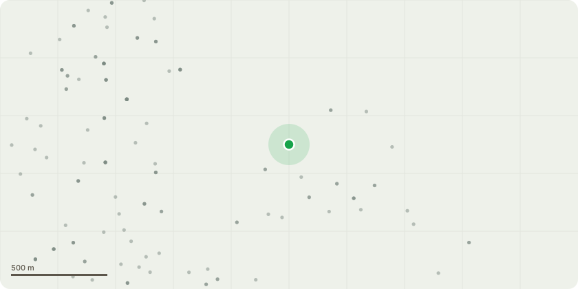
Approximate location
Proposal
We wish to apply for permission to prune back five sycamore tree saplings adjacent to and overshadowing our property. The saplings are on the end of an old railway embankment beside our property and adjacent to Park Road. Recently, one of these saplings broke off in windy weather and landed on our garden close to a Park Road, the public right of way on Park Road and an overhead telephone line. The sapling was 4 metres long and around 8 cm in diameter. If we had been in the garden when it fell, it could have caused us harm. Also, if the sapling had fallen in a different direction, it could have fallen on people passing by on a right of way or vehicles on Park Road. I have provided a sketch plan and photos identifying the saplings. We are concerned about risk to ourselves, our property, people passing by, passing cars and the telephone line. We emphasise, these are saplings not full size trees. There are many such saplings along with shrubs in the area but on enquiry to South Ribble Council on 1.6.26, we were advised we had to apply for planning permission for work on these.
Key dates
- Received 1 Jun 2026
- Validated 19 Jun 2026
- Started 19 Jun 2026
- Decided 23 Jun 2026
Planning history / related applications
No related planning applications have been identified in the current public OGL dataset.
Inside plotEdge
Go beyond the public record
This page is the public OGL record. plotEdge adds the private intelligence layer for this site - open it in the app to unlock:
- Ownership & title Registered owner and title from HM Land Registry.
- Viability & build potential Site scoring and development upside.
- Constraints Flood risk, green belt, conservation areas and designations.
- Approval signal Planning risk and approval-likelihood analysis.
- Comparable applications Decisions on similar nearby sites, side by side.
- Status alerts Get notified the moment this application changes.
Source: public planning application data from South Ribble, reused under the Open Government Licence v3.0. View the council source record. Council documents and drawings are not republished on plotEdge.