South Ribble
South Ribble/07/2026/00053/TPO
33 Alder Close Moss Side Leyland Lancashire PR26 7TT
- Reference
- South Ribble/07/2026/00053/TPO
- Authority
- South Ribble
- Application type
- Tree preservation order
- Address
- 33 Alder Close Moss Side Leyland Lancashire PR26 7TT
- Postcode
- PR26 7TT
- Status
- Unknown
- Decision
- Tree Works refused
- Received
- 28 Jan 2026
- Validated
- 22 Feb 2026
- Started
- 22 Feb 2026
- Decided
- 26 Feb 2026
- Source council
- South Ribble
- Council source record
- View public record
- Public data licence
- Open Government Licence v3.0
- Record updated
- 18 Jul 2026
- SEO index generated
- 24 Jul 2026
Location
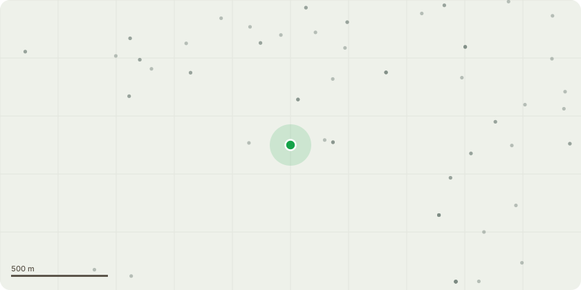
Approximate location
Proposal
sycamore (Acer pseudoplatanus)One mature sycamore tree (Acer pseudoplatanus) located to the front/side boundary of the property, adjacent to the existing hedge and driveway.Approximate characteristics: mature height and spread, multi-stem branching, leafless at time of inspection (winter).Dense mixed boundary hedging located beneath and around the tree, forming the front garden boundary.Proposed works (full specification)Fell and remove one mature sycamore tree to ground level.Grind out the stump to below ground level to allow for hardstanding construction.Remove all arisings, including timber, branches, roots, and debris, from site.Remove existing boundary hedges along the front/side boundary adjacent to the driveway.Extend the existing driveway into the area currently occupied by the tree and hedging to create additional off-street parking.Works to be carried out using standard arboricultural methods by a competent contractor, ensuring no damage to adjacent properties, footpaths, or services.Reason for worksTo allow the extension of the existing driveway to improve safe off-street parking and vehicle access. The tree and hedging currently restrict the usable width of the driveway.
Key dates
- Received 28 Jan 2026
- Validated 22 Feb 2026
- Started 22 Feb 2026
- Decided 26 Feb 2026
Planning history / related applications
No related planning applications have been identified in the current public OGL dataset.
Inside plotEdge
Go beyond the public record
This page is the public OGL record. plotEdge adds the private intelligence layer for this site - open it in the app to unlock:
- Ownership & title Registered owner and title from HM Land Registry.
- Viability & build potential Site scoring and development upside.
- Constraints Flood risk, green belt, conservation areas and designations.
- Approval signal Planning risk and approval-likelihood analysis.
- Comparable applications Decisions on similar nearby sites, side by side.
- Status alerts Get notified the moment this application changes.
Source: public planning application data from South Ribble, reused under the Open Government Licence v3.0. View the council source record. Council documents and drawings are not republished on plotEdge.