South Norfolk
South Norfolk/2026/1610
Lingwood County First School Chapel Road Lingwood Norfolk NR13 4NX
- Reference
- South Norfolk/2026/1610
- Authority
- South Norfolk
- Address
- Lingwood County First School Chapel Road Lingwood Norfolk NR13 4NX
- Postcode
- NR13 4NX
- Status
- Decided
- Decision
- Approval with no Conditions
- Received
- 5 Jun 2026
- Validated
- 5 Jun 2026
- Started
- 5 Jun 2026
- Decided
- 26 Jun 2026
- Source council
- South Norfolk
- Council source record
- View public record
- Public data licence
- Open Government Licence v3.0
- Record updated
- 18 Jul 2026
- SEO index generated
- 24 Jul 2026
Location
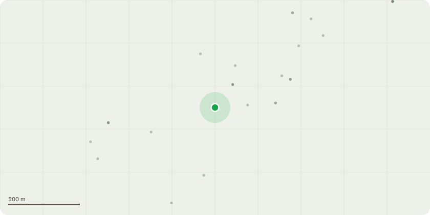
Approximate location
Proposal
Non-Material amendment of 20201611 to carry out the following amendments 1. Change of surface finish to the Adoptable Type 6 Mews Area from concrete block paving to asphalt in accordance with NCC adoptable standards. S38 layout and details updated, 2. Replacement of 1.8m facing brickwork boundary wall (adjacent Plot 1 driveway) with 1.8m high timber closed board fencing, 3. Alternate specification for paving slabs for buff riven concrete slabs, 4. Change of roof tile material from clay to concrete. Plain tile profile and colours retained, 5. Change of rainwater goods material from aluminium to uPVC. Black colour retained, 6. Change of window and patio door frame material from aluminium to uPVC. Anthracite grey colour retained, 7. Minor changes to window opening sash configurations to ensure adequate ventilation areas in accordance with Building Regulations Parts F & O. Overall window sizes and positions unchanged, 8. Replacement of bi-fold doors to House Type 1 bungalow with double French door and fixed sidelights, 9. Reduced first floor ceiling, eaves, ridge and chimney heights by 150mm to House Types 3, 4, 5 & 6 and 10. Change of wording of condition 10 to vary the trigger point
Key dates
- Received 5 Jun 2026
- Validated 5 Jun 2026
- Started 5 Jun 2026
- Decided 26 Jun 2026
Planning history / related applications
No related planning applications have been identified in the current public OGL dataset.
Inside plotEdge
Go beyond the public record
This page is the public OGL record. plotEdge adds the private intelligence layer for this site - open it in the app to unlock:
- Ownership & title Registered owner and title from HM Land Registry.
- Viability & build potential Site scoring and development upside.
- Constraints Flood risk, green belt, conservation areas and designations.
- Approval signal Planning risk and approval-likelihood analysis.
- Comparable applications Decisions on similar nearby sites, side by side.
- Status alerts Get notified the moment this application changes.
Source: public planning application data from South Norfolk, reused under the Open Government Licence v3.0. View the council source record. Council documents and drawings are not republished on plotEdge.