South Norfolk
South Norfolk/2026/1022
Trowse County Primary School White Horse Lane Trowse Norfolk NR14 8TH
- Reference
- South Norfolk/2026/1022
- Authority
- South Norfolk
- Address
- Trowse County Primary School White Horse Lane Trowse Norfolk NR14 8TH
- Postcode
- NR14 8TH
- Status
- Decided
- Decision
- Approval of details - Approved
- Received
- 11 Apr 2026
- Validated
- 13 Apr 2026
- Started
- 13 Apr 2026
- Decided
- 18 Jun 2026
- Source council
- South Norfolk
- Council source record
- View public record
- Public data licence
- Open Government Licence v3.0
- Record updated
- 18 Jul 2026
- SEO index generated
- 24 Jul 2026
Location
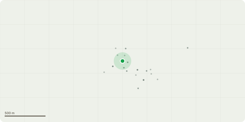
Approximate location
Proposal
Details for conditions 13 - Confirmation from site investigation (Harrisons) that no significant contamination, including asbestos, has been identified on site, 9 - Approved off-site highways drawing TRPS-CF-ZZ-XX-DR-A-0505 Rev P4 (Access and Pram Crossings), 3 - Window details and sections (Waveney Glass) and heritage-style aluminium window specification (Decorio system) & Rooflight specification (Fakro conservation rooflight), Roof finish (Cedral Rivendale slate ? Cromleigh Graphite) proposed on a like-for-like basis for replacement of any damaged existing tiles only, Solar panel specification (Jinko Tiger Neo all-black modules) in accordance with approved planning drawings, 26 - EV charging point specification (SyncEV EVS7GGR-02) and associated charger stand details of permission 2022/1024
Key dates
- Received 11 Apr 2026
- Validated 13 Apr 2026
- Started 13 Apr 2026
- Decided 18 Jun 2026
Planning history / related applications
No related planning applications have been identified in the current public OGL dataset.
Inside plotEdge
Go beyond the public record
This page is the public OGL record. plotEdge adds the private intelligence layer for this site - open it in the app to unlock:
- Ownership & title Registered owner and title from HM Land Registry.
- Viability & build potential Site scoring and development upside.
- Constraints Flood risk, green belt, conservation areas and designations.
- Approval signal Planning risk and approval-likelihood analysis.
- Comparable applications Decisions on similar nearby sites, side by side.
- Status alerts Get notified the moment this application changes.
Source: public planning application data from South Norfolk, reused under the Open Government Licence v3.0. View the council source record. Council documents and drawings are not republished on plotEdge.