South Norfolk
South Norfolk/2025/3750
Wherry House 300 St Faiths Road Old Catton Norfolk NR6 7BJ
- Reference
- South Norfolk/2025/3750
- Authority
- South Norfolk
- Address
- Wherry House 300 St Faiths Road Old Catton Norfolk NR6 7BJ
- Postcode
- NR6 7BJ
- Status
- Decided
- Decision
- Approval with Conditions
- Received
- 2 Dec 2025
- Validated
- 2 Dec 2025
- Started
- 2 Dec 2025
- Decided
- 5 Jan 2026
- Source council
- South Norfolk
- Council source record
- View public record
- Public data licence
- Open Government Licence v3.0
- Record updated
- 18 Jul 2026
- SEO index generated
- 24 Jul 2026
Location
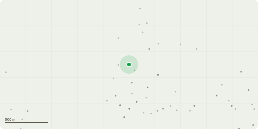
Approximate location
Proposal
310 Cherry Plum Dead tree. Fell to near ground level.361 Sycamore. Clean out the crown of deadwood, suppressed and crossing branches. Tip-reduce the extended limb over the access drive with the decayed stub near the attachment point with the stem. Tip-reduce by approximately 3m to natural growing points.375 English Elm. Dead tree Fell to ground level.390 Ash Chalara Ash dieback infection. Fell to ground level.393 Ash Chalara Ash dieback infection. Fell to ground level.308 Yew. Clean out the crown of deadwood, suppressed and crossing branches. Raise and reduce back the branches from the adjacent building to give a 1.5m clearance309 Leyland. Raise low secondary branches over the car park and access drive to give a 4m ground clearance.317 Holly. Moribund tree in terminal decline. Fell to near ground level. The stump may re-coppice.318 Holly. Moribund tree in terminal decline. Fell to near ground level. The stump may re-coppice.357 Holly Dead tree. Fell to near ground level.359 Cherry Laurel. Coppice to just above ground level.364 Sycamore. Clean out the crown of deadwood, suppressed and crossing branches. Low branches over a neighbouring domestic garden. Raise low branches to give a 5m ground clearance.366 Sycamore. Remove the deadwood67 Sycamore. Low branches over a neighbouring domestic garden. Raise low branches to give a 5m ground clearance.378 Holly. Possibly in the ownership of the neighbouring domestic property. Remove the subsiding stems over the access drive.392 Holly. Coppice to near ground level.
Key dates
- Received 2 Dec 2025
- Validated 2 Dec 2025
- Started 2 Dec 2025
- Decided 5 Jan 2026
Planning history / related applications
No related planning applications have been identified in the current public OGL dataset.
Inside plotEdge
Go beyond the public record
This page is the public OGL record. plotEdge adds the private intelligence layer for this site - open it in the app to unlock:
- Ownership & title Registered owner and title from HM Land Registry.
- Viability & build potential Site scoring and development upside.
- Constraints Flood risk, green belt, conservation areas and designations.
- Approval signal Planning risk and approval-likelihood analysis.
- Comparable applications Decisions on similar nearby sites, side by side.
- Status alerts Get notified the moment this application changes.
Source: public planning application data from South Norfolk, reused under the Open Government Licence v3.0. View the council source record. Council documents and drawings are not republished on plotEdge.