South Kesteven
South Kesteven/S26/1148
6 Prentice Place Deeping St James Lincolnshire PE6 8GZ
- Reference
- South Kesteven/S26/1148
- Authority
- South Kesteven
- Address
- 6 Prentice Place Deeping St James Lincolnshire PE6 8GZ
- Postcode
- PE6 8GZ
- Status
- Awaiting decision
- Received
- 1 Jul 2026
- Started
- 1 Jul 2026
- Source council
- South Kesteven
- Council source record
- View public record
- Public data licence
- Open Government Licence v3.0
- Record updated
- 18 Jul 2026
- SEO index generated
- 24 Jul 2026
Location
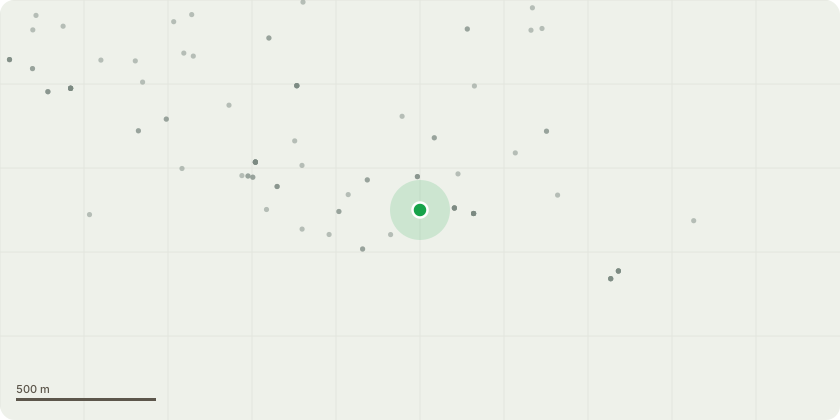
Approximate location
Proposal
Property & Location DetailsSite Address: 6 Prentice Place, Deeping St. James, PE6 8GZTree Locations: Situated on the rear boundary of the back garden of 6 Prentice Place, adjacent to the public/communal passageway that runs parallel to Hereward Way.Species & Description of Proposed WorksTree Species: Two (2) Mature Sycamore Trees (T1 and T2).Proposed Works:Crown reduction in height to approximately 8-10 meters, pruning back to suitable growth points to maintain a balanced and natural canopy shape.Severance and removal of ivy at the base of both trees, with subsequent treatment/clearance of the dead ivy from the trunks to allow for a thorough structural inspection.3. Reasons for the WorksNeighbor Amenity & Light Loss: The trees have grown to a height where they are significantly blocking natural sunlight from the neighboring properties along Hereward Way. The reduction aims to restore a reasonable level of light to these residents.Nuisance Mitigation: The height and overhanging canopy of the sycamores result in heavy seasonal sap/honeydew drop, which has led to formal complaints from neighboring residents regarding damage and mess to their property and gardens.Tree Health & Maintenance: The heavy infestation of ivy is obscuring the main stems and structural forks of the trees. Treating and removing the ivy is necessary to monitor the health of the sycamores, prevent the ivy from choking the canopy, and reduce wind-sail risk.
Key dates
- Received 1 Jul 2026
- Started 1 Jul 2026
Planning history / related applications
No related planning applications have been identified in the current public OGL dataset.
Inside plotEdge
Go beyond the public record
This page is the public OGL record. plotEdge adds the private intelligence layer for this site - open it in the app to unlock:
- Ownership & title Registered owner and title from HM Land Registry.
- Viability & build potential Site scoring and development upside.
- Constraints Flood risk, green belt, conservation areas and designations.
- Approval signal Planning risk and approval-likelihood analysis.
- Comparable applications Decisions on similar nearby sites, side by side.
- Status alerts Get notified the moment this application changes.
Source: public planning application data from South Kesteven, reused under the Open Government Licence v3.0. View the council source record. Council documents and drawings are not republished on plotEdge.