South Kesteven
South Kesteven/S26/0648
14 Fox Dale Stamford Lincolnshire PE9 2UZ
- Reference
- South Kesteven/S26/0648
- Authority
- South Kesteven
- Address
- 14 Fox Dale Stamford Lincolnshire PE9 2UZ
- Postcode
- PE9 2UZ
- Status
- Decided
- Decision
- Work Allowed
- Received
- 13 Apr 2026
- Validated
- 15 Apr 2026
- Started
- 15 Apr 2026
- Decided
- 23 Apr 2026
- Source council
- South Kesteven
- Council source record
- View public record
- Public data licence
- Open Government Licence v3.0
- Record updated
- 18 Jul 2026
- SEO index generated
- 24 Jul 2026
Location
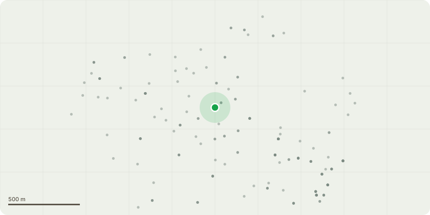
Approximate location
Proposal
THIS IS A FIVE DAY NOTICEThe tree is a chestnut which last night tore one of its 2 stems (total failure). The one that failed fell back into the garden and didnt do any damage but the remaining stem is over the footway and road (Casterton Rd in Stamford which is a very busy road). This tree was inspected last year and although some timber was noted to be in poor condition, it was considered that the reaction timber around the area showed the tree was adapting to the internal weakness and risk was minimal. In light of the condition of the timber at the failed attachment point (now visible) I would like to remove the remaining stem as soon as possible as the consequences of a failure over the road or footway are potentially fatal.I have tried to contact the department today by phone repeatedly and by email. I will try again tomorrow but it is my intention to take the tree down on Wed 15th in order to remove the risk to the public. I will document the fell.
Key dates
- Received 13 Apr 2026
- Validated 15 Apr 2026
- Started 15 Apr 2026
- Decided 23 Apr 2026
Planning history / related applications
No related planning applications have been identified in the current public OGL dataset.
Inside plotEdge
Go beyond the public record
This page is the public OGL record. plotEdge adds the private intelligence layer for this site - open it in the app to unlock:
- Ownership & title Registered owner and title from HM Land Registry.
- Viability & build potential Site scoring and development upside.
- Constraints Flood risk, green belt, conservation areas and designations.
- Approval signal Planning risk and approval-likelihood analysis.
- Comparable applications Decisions on similar nearby sites, side by side.
- Status alerts Get notified the moment this application changes.
Source: public planning application data from South Kesteven, reused under the Open Government Licence v3.0. View the council source record. Council documents and drawings are not republished on plotEdge.