South Kesteven
South Kesteven/S24/1911
The Old Barracks Sandon Road Grantham Lincolnshire NG31 9AS
- Reference
- South Kesteven/S24/1911
- Authority
- South Kesteven
- Address
- The Old Barracks Sandon Road Grantham Lincolnshire NG31 9AS
- Postcode
- NG31 9AS
- Status
- Withdrawn
- Decision
- Withdrawn
- Received
- 4 Nov 2024
- Validated
- 10 Dec 2024
- Started
- 10 Dec 2024
- Decided
- 12 Feb 2025
- Source council
- South Kesteven
- Council source record
- View public record
- Public data licence
- Open Government Licence v3.0
- Record updated
- 18 Jul 2026
- SEO index generated
- 24 Jul 2026
Location
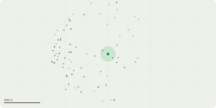
Approximate location
Proposal
The Prime Therapy Clinic V Board aluminium sign 2no 11swg aluminium flat signs 750mm x 1000mm landscape orientated with aluminium clip extrusion to the rear of each for fixing to sign posts.The front of each sign will have Prime Therapy Clinic graphics printed and laminated to 7 year digital vinyl using Epsom Ultrachrome2 inks printed on an Epsom SC 50600 wide format printer to the enclosed design and colours.The signs will be formed as a V by mounting to 3no 76mm sign posts so the sign can be viewed from both direction from the road. The bottom of the sign will be at 1000mm from ground level with the sign posts fixed under ground using post mix.
Key dates
- Received 4 Nov 2024
- Validated 10 Dec 2024
- Started 10 Dec 2024
- Decided 12 Feb 2025
Planning history / related applications
No related planning applications have been identified in the current public OGL dataset.
Inside plotEdge
Go beyond the public record
This page is the public OGL record. plotEdge adds the private intelligence layer for this site - open it in the app to unlock:
- Ownership & title Registered owner and title from HM Land Registry.
- Viability & build potential Site scoring and development upside.
- Constraints Flood risk, green belt, conservation areas and designations.
- Approval signal Planning risk and approval-likelihood analysis.
- Comparable applications Decisions on similar nearby sites, side by side.
- Status alerts Get notified the moment this application changes.
Source: public planning application data from South Kesteven, reused under the Open Government Licence v3.0. View the council source record. Council documents and drawings are not republished on plotEdge.