South Gloucestershire
South Gloucestershire/P25/01657/NMA
Churchmead Farm Hodden Lane Pucklechurch South Gloucestershire BS16 9SG
- Reference
- South Gloucestershire/P25/01657/NMA
- Authority
- South Gloucestershire
- Application type
- Non-material amendment
- Address
- Churchmead Farm Hodden Lane Pucklechurch South Gloucestershire BS16 9SG
- Postcode
- BS16 9SG
- Status
- Unknown
- Decision
- Refuse Non Material Amendment
- Received
- 8 Jul 2025
- Validated
- 8 Jul 2025
- Started
- 8 Jul 2025
- Decided
- 3 Sept 2025
- Source council
- South Gloucestershire
- Council source record
- View public record
- Public data licence
- Open Government Licence v3.0
- Record updated
- 18 Jul 2026
- SEO index generated
- 24 Jul 2026
Location
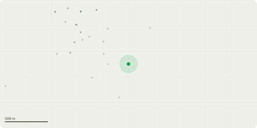
Approximate location
Proposal
Non Material Amendment to Planning Permission P24/01494/F Window and door notation amended to Double glazed Oak effect uPVC generally, except for the kitchen gable end screen and bifold doors which have been amended to PPC Aluminium double glazed screen. Colour: to match windows and doors. Rainwater notation amended to uPVC rainwater goods. Colour : To client specification. Roof tile notation amended to Existing concrete Double Roman tiles to be removed and replaced with new concrete Double Roman tiles to match existing in style, material and appearance. Internal layout of all rooms updated to reflect the internal layout shown on the Building Regulations drawings. Living room window EW007 omitted. Boiler housing added. It has internal dimensions of 1900mm x 800mm to house the boiler and the manifold. The walls have a 100mm cavity. The external finish is rendered on masonry cavity construction with 100mm cavity. The package treatment plant notation has been updated to include Marsh industry 6 person gravity fed Oil tank notation amended to 1100 LTR Bunded Oil tank 1940mm 1390mmh X 840mm W Davant.
Key dates
- Received 8 Jul 2025
- Validated 8 Jul 2025
- Started 8 Jul 2025
- Decided 3 Sept 2025
Planning history / related applications
No related planning applications have been identified in the current public OGL dataset.
Inside plotEdge
Go beyond the public record
This page is the public OGL record. plotEdge adds the private intelligence layer for this site - open it in the app to unlock:
- Ownership & title Registered owner and title from HM Land Registry.
- Viability & build potential Site scoring and development upside.
- Constraints Flood risk, green belt, conservation areas and designations.
- Approval signal Planning risk and approval-likelihood analysis.
- Comparable applications Decisions on similar nearby sites, side by side.
- Status alerts Get notified the moment this application changes.
Source: public planning application data from South Gloucestershire, reused under the Open Government Licence v3.0. View the council source record. Council documents and drawings are not republished on plotEdge.