South Gloucestershire
South Gloucestershire/DOC25/00429
Bristol Zoo Project (Formerly Wild Place Project) Blackhorse Hill, Easter Compton South Gloucestershire BS10 7TP
- Reference
- South Gloucestershire/DOC25/00429
- Authority
- South Gloucestershire
- Address
- Bristol Zoo Project (Formerly Wild Place Project) Blackhorse Hill, Easter Compton South Gloucestershire BS10 7TP
- Postcode
- BS10 7TP
- Status
- Decided
- Decision
- Discharge of Conditions Decided
- Received
- 24 Dec 2025
- Validated
- 24 Dec 2025
- Started
- 24 Dec 2025
- Decided
- 31 Mar 2026
- Source council
- South Gloucestershire
- Council source record
- View public record
- Public data licence
- Open Government Licence v3.0
- Record updated
- 18 Jul 2026
- SEO index generated
- 24 Jul 2026
Location
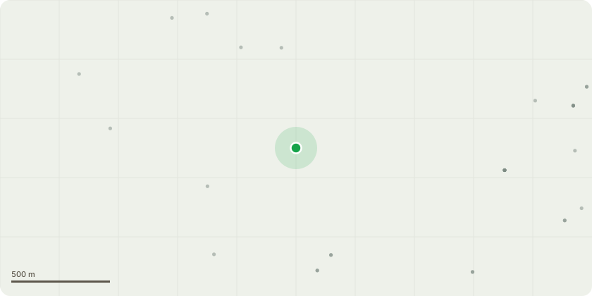
Approximate location
Proposal
Discharge of condition 5 (tree planting strategy) and 14 (wildlife enhancement) attached to planning permission P23/02429/F - Demolition of existing structures. Erection of built enclosures, boundary treatments, hardstanding, landscaping and other ancillary shelters and equipment associated with new zoological exhibits, together with associated utilities and drainage infrastructure . Installation of temporary construction access route across Tower Meadows, temporary alterations to the existing Hollywood Lane access. Temporary removal of entrance gates, installation of temporary gates during construction and subsequent reinstatement of access and entrance gates.
Key dates
- Received 24 Dec 2025
- Validated 24 Dec 2025
- Started 24 Dec 2025
- Decided 31 Mar 2026
Planning history / related applications
No related planning applications have been identified in the current public OGL dataset.
Inside plotEdge
Go beyond the public record
This page is the public OGL record. plotEdge adds the private intelligence layer for this site - open it in the app to unlock:
- Ownership & title Registered owner and title from HM Land Registry.
- Viability & build potential Site scoring and development upside.
- Constraints Flood risk, green belt, conservation areas and designations.
- Approval signal Planning risk and approval-likelihood analysis.
- Comparable applications Decisions on similar nearby sites, side by side.
- Status alerts Get notified the moment this application changes.
Source: public planning application data from South Gloucestershire, reused under the Open Government Licence v3.0. View the council source record. Council documents and drawings are not republished on plotEdge.