South Downs National Park
South Downs National Park/SDNP/26/02805/FUL
Brambridge Park, Flat 2 Brambridge House Kiln Lane Brambridge Hampshire SO50 6HL
- Reference
- South Downs National Park/SDNP/26/02805/FUL
- Authority
- South Downs National Park
- Application type
- Full permission
- Address
- Brambridge Park, Flat 2 Brambridge House Kiln Lane Brambridge Hampshire SO50 6HL
- Postcode
- SO50 6HL
- Status
- Application in Progress
- Received
- 17 Jul 2026
- Started
- 17 Jul 2026
- Source council
- South Downs National Park
- Council source record
- View public record
- Public data licence
- Open Government Licence v3.0
- Record updated
- 21 Jul 2026
- SEO index generated
- 24 Jul 2026
Location
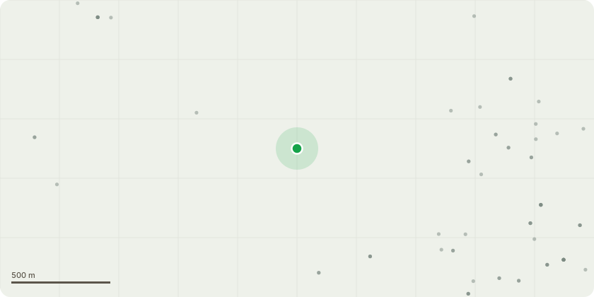
Approximate location
Proposal
Installation of flexible steel liners (904 grade) and two stoves at Flat 2, Brambridge House by Billing Chimneys. Drawing Room: Installation of one Clearview 750 stove. The non-original 1970s hearth and mantle surround will be removed and replaced with a traditional, simple design once the recess is exposed. Combustion air will be supplied via a direct air kit duct exiting externally (location indicated on attached annotated photograph). - Basement Bedroom: Installation of one Clearview Vision 500 inset (5KW) stove utilizing the existing hearth and brick surround. Flue & Chimney Structural Repairs: The missing internal brick withs between two of the three flues will be rebuilt to restore structural integrity and safety. The two active flues will be fitted with 300mm tall buff-coloured terracotta chimney pots and buff-coloured stainless steel euro cowls. The third, unused flue will be fitted with a buff vent cap. Associated External Works via Scaffolding: Access scaffolding will be erected on the west side of the North Wing. Utilizing this temporary access, localized repair and lime patch-rendering will be undertaken on reachable sections of the back of the chimney stack. Additionally, organic growth will be carefully removed from reachable upper sections and the balustrade of the west wall of the North Wing using low-pressure steam.
Key dates
- Received 17 Jul 2026
- Started 17 Jul 2026
Planning history / related applications
No related planning applications have been identified in the current public OGL dataset.
Inside plotEdge
Go beyond the public record
This page is the public OGL record. plotEdge adds the private intelligence layer for this site - open it in the app to unlock:
- Ownership & title Registered owner and title from HM Land Registry.
- Viability & build potential Site scoring and development upside.
- Constraints Flood risk, green belt, conservation areas and designations.
- Approval signal Planning risk and approval-likelihood analysis.
- Comparable applications Decisions on similar nearby sites, side by side.
- Status alerts Get notified the moment this application changes.
Source: public planning application data from South Downs National Park, reused under the Open Government Licence v3.0. View the council source record. Council documents and drawings are not republished on plotEdge.