South Downs National Park
South Downs National Park/SDNP/26/02317/TCA
Kings Worthy Grove, The Coach House Basingstoke Road Kings Worthy Hampshire SO23 7NQ
- Reference
- South Downs National Park/SDNP/26/02317/TCA
- Authority
- South Downs National Park
- Application type
- Trees in conservation area
- Address
- Kings Worthy Grove, The Coach House Basingstoke Road Kings Worthy Hampshire SO23 7NQ
- Postcode
- SO23 7NQ
- Status
- Application in Progress
- Received
- 12 Jun 2026
- Started
- 12 Jun 2026
- Source council
- South Downs National Park
- Council source record
- View public record
- Public data licence
- Open Government Licence v3.0
- Record updated
- 18 Jul 2026
- SEO index generated
- 24 Jul 2026
Location
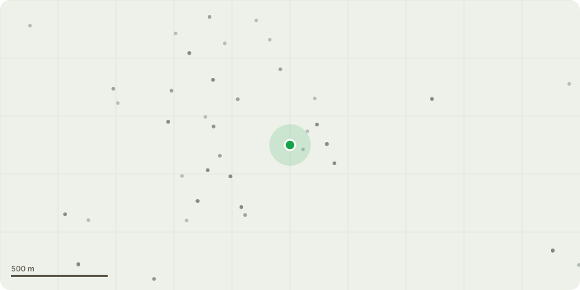
Approximate location
Proposal
T1 Sycamore - The Sycamore is of poor structural form due to historic heavy pollarding. The tree is suppressed by adjacent vegetation and is exhibiting poor vitality as it competes for available light. Surface roots are causing displacement of paving slabs and are encroaching upon the drainage infrastructure. Due to its declining condition, limited long-term amenity value, and ongoing damage to surrounding hard surfaces and drainage, permission is sought to Fell.T2 LimeHistorically pollard Lime tree. To re-pollard by removing approximately 6 metres of upper crown regrowth, returning the tree to established pollard points. Crown lift epicormic regrowth to a height of approximately 10 metres, up to the principal fork union. The proposed works will maintain the tree within its historic management regime, reduce end-weight on regenerated limbs, and ensure continued sustainable retention.Permission is requested for cyclical re-pollarding and maintenance works and epicormic regrowth.T3 Horse ChestnutTo crown lift over the northern highway by up to 10 metres through the removal of tertiary growth only, with pruning cuts not exceeding 30mm in diameter. Additionally, on the first southern bow, selectively reduce overextended secondary and tertiary branches projecting above the driveway by up to 2.5 metres, as indicated in the accompanying photograph. The works are proposed to improve clearance, increase light penetration through the canopy, and reduce the visual dominance of the overextended branch structure whilst retaining the tree's natural form and amenity value.T4 LimeTo crown lift epicormic regrowth to approximately 10 metres above ground level, up to the main fork union. The works will improve clearance beneath the canopy and maintain the tree within its established management regime. Permission is requested for ongoing cyclical maintenance.T5 LimeTo crown lift epicormic regrowth to approximately 10 metres above ground level, up to the main fo
Key dates
- Received 12 Jun 2026
- Started 12 Jun 2026
Planning history / related applications
No related planning applications have been identified in the current public OGL dataset.
Inside plotEdge
Go beyond the public record
This page is the public OGL record. plotEdge adds the private intelligence layer for this site - open it in the app to unlock:
- Ownership & title Registered owner and title from HM Land Registry.
- Viability & build potential Site scoring and development upside.
- Constraints Flood risk, green belt, conservation areas and designations.
- Approval signal Planning risk and approval-likelihood analysis.
- Comparable applications Decisions on similar nearby sites, side by side.
- Status alerts Get notified the moment this application changes.
Source: public planning application data from South Downs National Park, reused under the Open Government Licence v3.0. View the council source record. Council documents and drawings are not republished on plotEdge.