South Downs National Park
South Downs National Park/SDNP/26/02186/TCA
Little Symonds West Street Hambledon Hampshire PO7 4RW
- Reference
- South Downs National Park/SDNP/26/02186/TCA
- Authority
- South Downs National Park
- Application type
- Trees in conservation area
- Address
- Little Symonds West Street Hambledon Hampshire PO7 4RW
- Postcode
- PO7 4RW
- Status
- Application in Progress
- Received
- 3 Jun 2026
- Started
- 3 Jun 2026
- Source council
- South Downs National Park
- Council source record
- View public record
- Public data licence
- Open Government Licence v3.0
- Record updated
- 18 Jul 2026
- SEO index generated
- 24 Jul 2026
Location
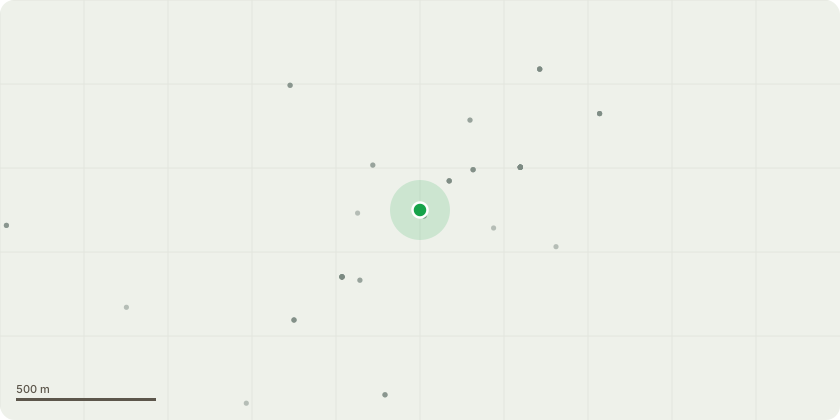
Approximate location
Proposal
T1 Copper Beech - Reduce extended lateral limbs on the eastern side of the canopy by up to 1.5m to suitable growth points, maintaining a natural crownform in accordance with BS3998.The eastern side of the canopy has extended towards the neighbouring property, resulting in increased encroachment. The proposed reduction will providereasonable clearance from the property boundary, maintain the tree?s overall shape and balance, and help manage future encroachment whilst retaining theamenity value of the tree.T2 Lime - Remove southern basal stem/sucker to ground level.A secondary stem has developed from the base of the tree and is growing towards the neighbouring property at an unfavourable angle due to suppression from the main canopy. Removal of this stem will prevent further encroachment, improve the form of the retained tree, and reduce future management requirements.T3 Ash - Re-pollard to the previous pollard points at approximately 2m above ground level.The tree has been historically managed as a pollard, with established pollard points located at approximately 2m above ground level. Cavities are present within the historic pollard heads, and significant regrowth has developed from these points. Re-pollarding is recommended to reduce loading onthe historic pollard heads and associated areas of decay, thereby reducing the risk of structural failure and prolonging the safe retention of the tree. Thecurrent regrowth also extends towards nearby overhead lines, and the proposed works will provide appropriate clearance whilst maintaining the tree in itstraditional pollard form.G1 Group of 5 Yew TreesCrown raise to approximately 3m above ground level on the northern side and reduce the northern side of the group by up to 2.5m to suitable growth points.Reduce extended lateral branches overhanging the access driveway from the eastern side of the first yew tree by up to 2.5m. The proposed works are to manage encroachment into the garden and over the
Key dates
- Received 3 Jun 2026
- Started 3 Jun 2026
Planning history / related applications
No related planning applications have been identified in the current public OGL dataset.
Inside plotEdge
Go beyond the public record
This page is the public OGL record. plotEdge adds the private intelligence layer for this site - open it in the app to unlock:
- Ownership & title Registered owner and title from HM Land Registry.
- Viability & build potential Site scoring and development upside.
- Constraints Flood risk, green belt, conservation areas and designations.
- Approval signal Planning risk and approval-likelihood analysis.
- Comparable applications Decisions on similar nearby sites, side by side.
- Status alerts Get notified the moment this application changes.
Source: public planning application data from South Downs National Park, reused under the Open Government Licence v3.0. View the council source record. Council documents and drawings are not republished on plotEdge.