South Downs National Park
South Downs National Park/SDNP/26/02059/TCA
Bethel East Street Hambledon Hampshire PO7 4RY
- Reference
- South Downs National Park/SDNP/26/02059/TCA
- Authority
- South Downs National Park
- Application type
- Trees in conservation area
- Address
- Bethel East Street Hambledon Hampshire PO7 4RY
- Postcode
- PO7 4RY
- Status
- Application in Progress
- Received
- 2 Jun 2026
- Started
- 2 Jun 2026
- Source council
- South Downs National Park
- Council source record
- View public record
- Public data licence
- Open Government Licence v3.0
- Record updated
- 18 Jul 2026
- SEO index generated
- 24 Jul 2026
Location
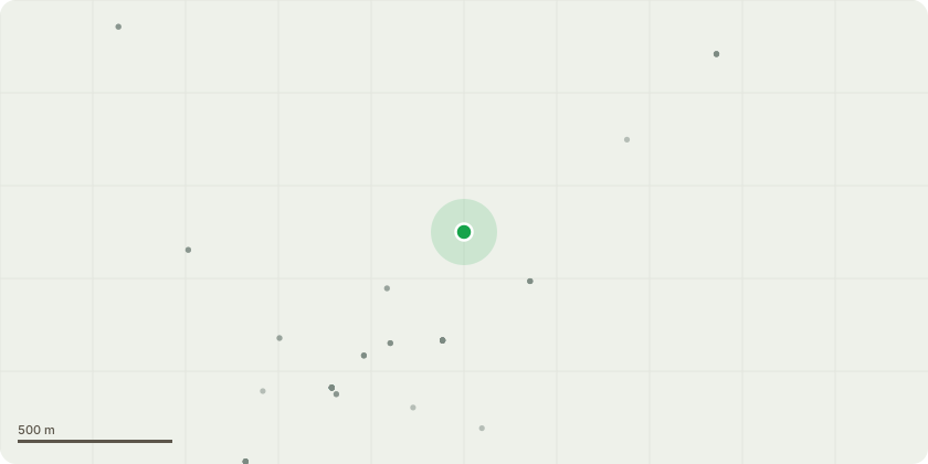
Approximate location
Proposal
We moved into this property in December 2025. The house had been unoccupied for nearly a year and little or no work appears to have been carried out to boundary and trees by the previous owners. There are two areas of work we are proposing to carryout.Silver Birch tree to left of property. The Silver Birch tree has been pollarded previously and it is planned to pollard back to the previous level to keep the tree under control (crown reduction by approx 5 metres. It is planned to get the hedge under control and rover the boundary and a number of Lilac shrubs.Yew Tree to Right of Property.Once again the Yew has been left to grow uncontrolled. The tree is very close to the house (trunk 2.6 metres from building) and the surveyor commented that the tree overhang could damage the flat roof, and also the closeness of the trunk to the house could potentially cause damage to foundations through root activity.Apparently by reducing the crown it will slow root activity and reduce risk of roof damage. Therefore we propose to clear shrubs around the base of the Yew to help the rootstock and reduce the crown by 2/3rds (approx 4 metres) and shape the ensuing regrowth.Obviously for a project of this size we will be using a qualified arborist and dates have not been planned - I understand it must be at least 6 weeks from this email..I have attached a number of photos for information, and please do not hesitate to ask if you need any further information.Many ThanksRoger Hart
Key dates
- Received 2 Jun 2026
- Started 2 Jun 2026
Planning history / related applications
No related planning applications have been identified in the current public OGL dataset.
Inside plotEdge
Go beyond the public record
This page is the public OGL record. plotEdge adds the private intelligence layer for this site - open it in the app to unlock:
- Ownership & title Registered owner and title from HM Land Registry.
- Viability & build potential Site scoring and development upside.
- Constraints Flood risk, green belt, conservation areas and designations.
- Approval signal Planning risk and approval-likelihood analysis.
- Comparable applications Decisions on similar nearby sites, side by side.
- Status alerts Get notified the moment this application changes.
Source: public planning application data from South Downs National Park, reused under the Open Government Licence v3.0. View the council source record. Council documents and drawings are not republished on plotEdge.