South Downs National Park
South Downs National Park/SDNP/26/01655/LDP
Pond Cottage Vicarage Lane Swanmore Hampshire SO32 2QT
- Reference
- South Downs National Park/SDNP/26/01655/LDP
- Authority
- South Downs National Park
- Application type
- LDP
- Address
- Pond Cottage Vicarage Lane Swanmore Hampshire SO32 2QT
- Postcode
- SO32 2QT
- Status
- Application Determined
- Decision
- Refused
- Received
- 28 Apr 2026
- Validated
- 1 May 2026
- Started
- 1 May 2026
- Decided
- 18 Jun 2026
- Source council
- South Downs National Park
- Council source record
- View public record
- Public data licence
- Open Government Licence v3.0
- Record updated
- 18 Jul 2026
- SEO index generated
- 24 Jul 2026
Location
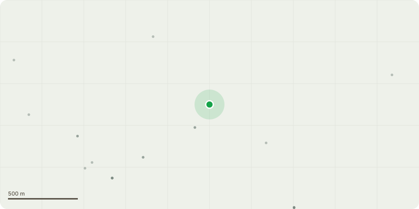
Approximate location
Proposal
The proposal is to build a wooden shed for the storage of wood and garden machinery within our garden. The shed will be 7m x 4m at the base, with a 1m roof overhang at the front of the shed. The height to the eaves will be 1.4m with the apex of the dual pitch roof having a maximum height of 3.4m from the ground.The shed will be more than 2m from the fence line/boundary of the neighbouring property (the owners of which have been consulted prior to the proposal being submitted, and are supportive of our plans). The shed will be free standing without the need for a permanent (concrete) base, and the materials and appearance will be in keeping with existing outbuildings in the immediate area (i.e. timber cladding in natural colours).It is intended to site the proposed shed in an area adjacent to our neighbours established shed and greenhouse, and next to a mature boundary hedge, thereby reducing the visual impact of the proposal from Park Lane.
Key dates
- Received 28 Apr 2026
- Validated 1 May 2026
- Started 1 May 2026
- Decided 18 Jun 2026
Planning history / related applications
No related planning applications have been identified in the current public OGL dataset.
Inside plotEdge
Go beyond the public record
This page is the public OGL record. plotEdge adds the private intelligence layer for this site - open it in the app to unlock:
- Ownership & title Registered owner and title from HM Land Registry.
- Viability & build potential Site scoring and development upside.
- Constraints Flood risk, green belt, conservation areas and designations.
- Approval signal Planning risk and approval-likelihood analysis.
- Comparable applications Decisions on similar nearby sites, side by side.
- Status alerts Get notified the moment this application changes.
Source: public planning application data from South Downs National Park, reused under the Open Government Licence v3.0. View the council source record. Council documents and drawings are not republished on plotEdge.