South Downs National Park
South Downs National Park/SDNP/26/01113/LIS
Worthy Park House Worthy Park Lane Kings Worthy Hampshire SO21 1AN
- Reference
- South Downs National Park/SDNP/26/01113/LIS
- Authority
- South Downs National Park
- Application type
- LIS
- Address
- Worthy Park House Worthy Park Lane Kings Worthy Hampshire SO21 1AN
- Postcode
- SO21 1AN
- Status
- Application Determined
- Decision
- Approved
- Received
- 19 Mar 2026
- Validated
- 19 Mar 2026
- Started
- 19 Mar 2026
- Decided
- 10 Jun 2026
- Source council
- South Downs National Park
- Council source record
- View public record
- Public data licence
- Open Government Licence v3.0
- Record updated
- 18 Jul 2026
- SEO index generated
- 24 Jul 2026
Location
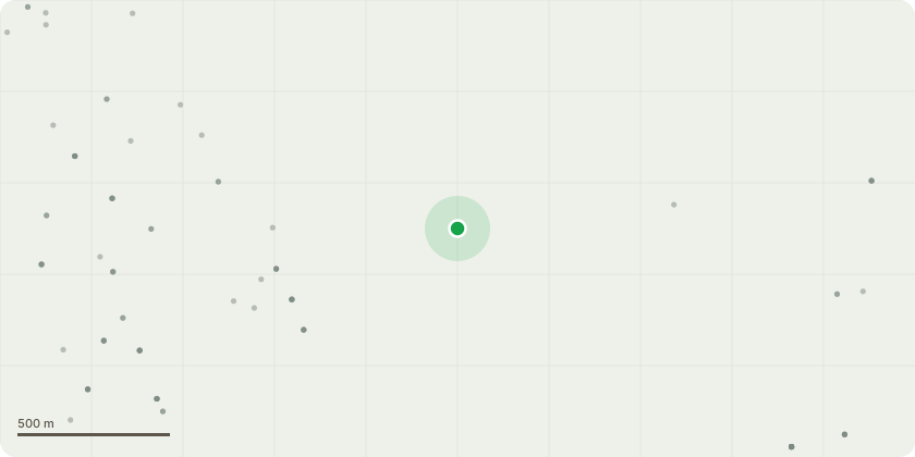
Approximate location
Proposal
Dismantling, repair and reconstruction of existing cupola: Following an inspection of the existing roof top cupola over the former stables block, defects to the cupola timber structure have been identified. Partial dismantling and repair are necessary to return the cupola back to a good state of repair. South elevation entrance front arcade: the lower sections of the timber shafts to the four columns to the arcade are deteriorating and decaying due to wood rot caused by the timber remaining constantly damp as the shafts are in direct contact with the external ground. The external paving level around the columns has been raised during a number of previous external works programmes which suggests the bottom of the timber shafts are below ground level. The defective lower sections of the timber shafts are to be removed and replaced with new timber shaft sections, to match existing on a like for like basis but with new natural stone sections at and below ground level The whole of the timber arcade (columns and beam) is to be redecorated/repainted. The existing external paving around the base of the columns is to be lowered.
Key dates
- Received 19 Mar 2026
- Validated 19 Mar 2026
- Started 19 Mar 2026
- Decided 10 Jun 2026
Planning history / related applications
No related planning applications have been identified in the current public OGL dataset.
Inside plotEdge
Go beyond the public record
This page is the public OGL record. plotEdge adds the private intelligence layer for this site - open it in the app to unlock:
- Ownership & title Registered owner and title from HM Land Registry.
- Viability & build potential Site scoring and development upside.
- Constraints Flood risk, green belt, conservation areas and designations.
- Approval signal Planning risk and approval-likelihood analysis.
- Comparable applications Decisions on similar nearby sites, side by side.
- Status alerts Get notified the moment this application changes.
Source: public planning application data from South Downs National Park, reused under the Open Government Licence v3.0. View the council source record. Council documents and drawings are not republished on plotEdge.