South Downs National Park
South Downs National Park/SDNP/26/01098/LIS
Wing House High Street Twyford Hampshire SO21 1NU
- Reference
- South Downs National Park/SDNP/26/01098/LIS
- Authority
- South Downs National Park
- Application type
- LIS
- Address
- Wing House High Street Twyford Hampshire SO21 1NU
- Postcode
- SO21 1NU
- Status
- Case Withdrawn
- Decision
- Application Withdrawn
- Received
- 19 Mar 2026
- Validated
- 24 Mar 2026
- Started
- 24 Mar 2026
- Decided
- 22 Apr 2026
- Source council
- South Downs National Park
- Council source record
- View public record
- Public data licence
- Open Government Licence v3.0
- Record updated
- 18 Jul 2026
- SEO index generated
- 24 Jul 2026
Location
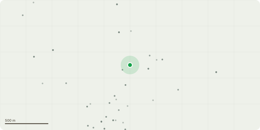
Approximate location
Proposal
We are proposing to replace the patio at the back of the house. We had a sewage leak at the back door. The man hole was underneath the patio so the drainage company had to lift the patio to find the man hole cover. It was very badly damaged and letting in silt and soil etc. which caused the blockage. The patio was broken into pieces when they were lifting it and now we have exposed soil pipes and unusable back door entry to garden. I have two young children so need to get this fixed ASAP. The patio was really badly laid previously, very uneven and lots of weeds between the flags, so no membranes beneath. Also not done in a period appropriate type of paving. We would like to put down a much more period appropriate patio of pale tumbled cobble block paving. Which is what a Georgian service-yard would have had originally. The other alternative is similar to York stone, it is called "Fossil Mint' which is a pale sandstone and also period appropriate.
Key dates
- Received 19 Mar 2026
- Validated 24 Mar 2026
- Started 24 Mar 2026
- Decided 22 Apr 2026
Planning history / related applications
No related planning applications have been identified in the current public OGL dataset.
Inside plotEdge
Go beyond the public record
This page is the public OGL record. plotEdge adds the private intelligence layer for this site - open it in the app to unlock:
- Ownership & title Registered owner and title from HM Land Registry.
- Viability & build potential Site scoring and development upside.
- Constraints Flood risk, green belt, conservation areas and designations.
- Approval signal Planning risk and approval-likelihood analysis.
- Comparable applications Decisions on similar nearby sites, side by side.
- Status alerts Get notified the moment this application changes.
Source: public planning application data from South Downs National Park, reused under the Open Government Licence v3.0. View the council source record. Council documents and drawings are not republished on plotEdge.