South Downs National Park
South Downs National Park/SDNP/26/00268/ADJAUT
Cemex Small Dole Landfill Henfield Road Small Dole BN5 9XJ
- Reference
- South Downs National Park/SDNP/26/00268/ADJAUT
- Authority
- South Downs National Park
- Application type
- ADJAUT
- Address
- Cemex Small Dole Landfill Henfield Road Small Dole BN5 9XJ
- Postcode
- BN5 9XJ
- Status
- Decided
- Decision
- Adj authority consultation response
- Received
- 16 Jan 2026
- Validated
- 16 Jan 2026
- Started
- 16 Jan 2026
- Decided
- 13 Feb 2026
- Source council
- South Downs National Park
- Council source record
- View public record
- Public data licence
- Open Government Licence v3.0
- Record updated
- 18 Jul 2026
- SEO index generated
- 24 Jul 2026
Location
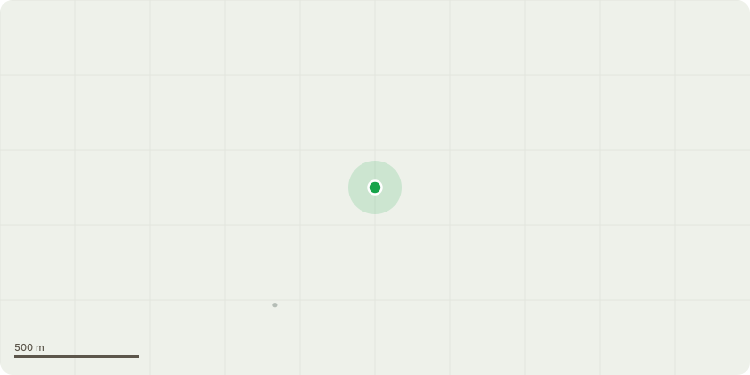
Approximate location
Proposal
Adjoining Authority Consultation - West Sussex County Council (WSCC/004/26) - Proposed importation of inert restoration materials and reprofiling to provide an attenuation layer to mitigate the impact of climate change by improving long term sustainable management of leachate, temporary diversion of FP2774 and nature conservation, biodiversity and landscape improvements.
Key dates
- Received 16 Jan 2026
- Validated 16 Jan 2026
- Started 16 Jan 2026
- Decided 13 Feb 2026
Planning history / related applications
No related planning applications have been identified in the current public OGL dataset.
Inside plotEdge
Go beyond the public record
This page is the public OGL record. plotEdge adds the private intelligence layer for this site - open it in the app to unlock:
- Ownership & title Registered owner and title from HM Land Registry.
- Viability & build potential Site scoring and development upside.
- Constraints Flood risk, green belt, conservation areas and designations.
- Approval signal Planning risk and approval-likelihood analysis.
- Comparable applications Decisions on similar nearby sites, side by side.
- Status alerts Get notified the moment this application changes.
Source: public planning application data from South Downs National Park, reused under the Open Government Licence v3.0. View the council source record. Council documents and drawings are not republished on plotEdge.