South Downs National Park
South Downs National Park/SDNP/25/03766/TCA
The Old Rectory Church Lane Easton Hampshire SO21 1EH
- Reference
- South Downs National Park/SDNP/25/03766/TCA
- Authority
- South Downs National Park
- Application type
- Trees in conservation area
- Address
- The Old Rectory Church Lane Easton Hampshire SO21 1EH
- Postcode
- SO21 1EH
- Status
- Application Determined
- Decision
- Raise No Objection
- Received
- 16 Sept 2025
- Validated
- 16 Sept 2025
- Started
- 16 Sept 2025
- Decided
- 4 Nov 2025
- Source council
- South Downs National Park
- Council source record
- View public record
- Public data licence
- Open Government Licence v3.0
- Record updated
- 18 Jul 2026
- SEO index generated
- 24 Jul 2026
Location
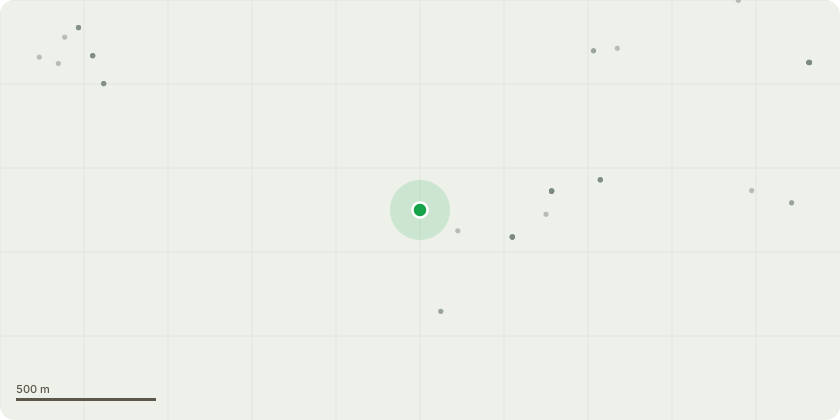
Approximate location
Proposal
(amended) There are 3 tree that require work Tree one - Sycamore - On the boundary of our land and The Easton Playing fields on the edge of Church lane. This is a sycamore tree and has been flagged to us as dangerous by the tree surgeon who recently worked on the tree that fell down in the playing field. This sycamore is diseased and has signs of wood worm, it is an extremely large tree that is on the edge of Church Lane and overhangs the power cables. Should it fall it would cause damage to properties opposite, take out the power lines and cause injury to any pedestrians walking on the lane. We would like permission to take this tree down, although it will require the power to be turned off. Tree 2 - Ash tree, this tree has die back and has over the last couple of months due to the dry weather starting leaning over. It is a large tree that borders Church lane and our land. As above if it were to fall it would take out the power lines and cause damage to property and anyone walking underneath. This tree needs to be felled. Tree 3 - An extremely large Sycamore in front of our house but alongside the church Lane. This tree has been shedding large boughs more and more frequently, They have blocked the road and could injure walkers. We would like permission to do a significant reduction of this tree to make it safer eg 2 metre reduction or 3 metres where branches have over extended above the road. We know that high up it is showing signs of decay and has large holes in the truck, these were seen when a tree surgeon used a cherry picker to examine the tree.
Key dates
- Received 16 Sept 2025
- Validated 16 Sept 2025
- Started 16 Sept 2025
- Decided 4 Nov 2025
Planning history / related applications
No related planning applications have been identified in the current public OGL dataset.
Inside plotEdge
Go beyond the public record
This page is the public OGL record. plotEdge adds the private intelligence layer for this site - open it in the app to unlock:
- Ownership & title Registered owner and title from HM Land Registry.
- Viability & build potential Site scoring and development upside.
- Constraints Flood risk, green belt, conservation areas and designations.
- Approval signal Planning risk and approval-likelihood analysis.
- Comparable applications Decisions on similar nearby sites, side by side.
- Status alerts Get notified the moment this application changes.
Source: public planning application data from South Downs National Park, reused under the Open Government Licence v3.0. View the council source record. Council documents and drawings are not republished on plotEdge.