South Downs National Park
South Downs National Park/SDNP/25/02964/CND
Little Orchard Station Hill Itchen Abbas Hampshire SO21 1BB
- Reference
- South Downs National Park/SDNP/25/02964/CND
- Authority
- South Downs National Park
- Application type
- CND
- Address
- Little Orchard Station Hill Itchen Abbas Hampshire SO21 1BB
- Postcode
- SO21 1BB
- Status
- Application Determined
- Decision
- Approved
- Received
- 18 Jul 2025
- Validated
- 21 Jul 2025
- Started
- 21 Jul 2025
- Decided
- 8 Sept 2025
- Source council
- South Downs National Park
- Council source record
- View public record
- Public data licence
- Open Government Licence v3.0
- Record updated
- 18 Jul 2026
- SEO index generated
- 24 Jul 2026
Location
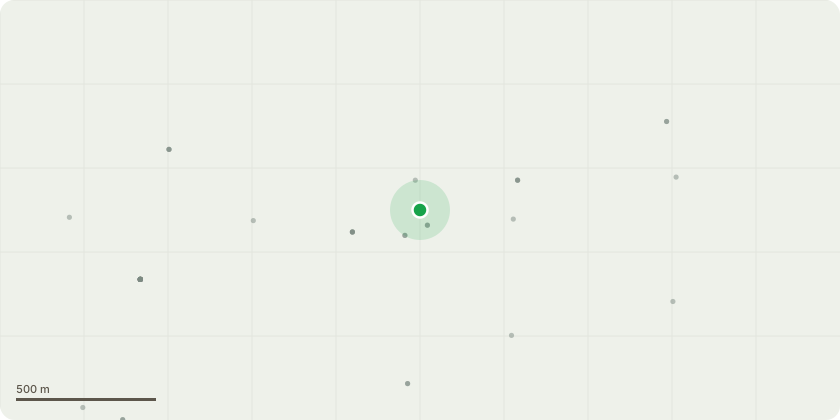
Approximate location
Proposal
Application Reference Number: SDNP/24/03807/HOUS Date of Decision: 05/12/2024. Condition Number(s): We seek to vary: Condition 2: "Plans Referred to in Consideration of this Application". Conditions(s) Removal: We seek to vary the approved plans, to omit the proposed loggia to the North facade of the house and instead have a large window and a vaulted ceiling in the kitchen. We would then utilise the loft void above the front section of the house to accommodate the lost bedroom from above the kitchen. The reasoning for this is having lived in the house now for some time, we have concerns there would not be enough natural light in the North facing kitchen with the loggia which was originally proposed. We have also had some costs back and would like to reduce the scale and cost of the roof / built structure. The plan "TT.GRE.508 Proposed House Elevations" demonstrates the outline of the approved application, together with the proposed reduced scale roof for comparison. The GIA remains within 30% as per the previous application (29% to be precise). Also proposed, is to make the detached garage slightly wider, to accommodate a car, trailer and bikes. We seek to substitute approved plans for amended plans noted as a part of condition 2.
Key dates
- Received 18 Jul 2025
- Validated 21 Jul 2025
- Started 21 Jul 2025
- Decided 8 Sept 2025
Planning history / related applications
No related planning applications have been identified in the current public OGL dataset.
Inside plotEdge
Go beyond the public record
This page is the public OGL record. plotEdge adds the private intelligence layer for this site - open it in the app to unlock:
- Ownership & title Registered owner and title from HM Land Registry.
- Viability & build potential Site scoring and development upside.
- Constraints Flood risk, green belt, conservation areas and designations.
- Approval signal Planning risk and approval-likelihood analysis.
- Comparable applications Decisions on similar nearby sites, side by side.
- Status alerts Get notified the moment this application changes.
Source: public planning application data from South Downs National Park, reused under the Open Government Licence v3.0. View the council source record. Council documents and drawings are not republished on plotEdge.