South Downs National Park
South Downs National Park/SDNP/25/02879/TCA
The Old Rectory Petersfield Road Greatham Liss Hampshire GU33 6HA
- Reference
- South Downs National Park/SDNP/25/02879/TCA
- Authority
- South Downs National Park
- Application type
- Trees in conservation area
- Address
- The Old Rectory Petersfield Road Greatham Liss Hampshire GU33 6HA
- Postcode
- GU33 6HA
- Status
- Application Determined
- Decision
- Raise No Objection
- Received
- 15 Jul 2025
- Validated
- 15 Jul 2025
- Started
- 15 Jul 2025
- Decided
- 4 Sept 2025
- Source council
- South Downs National Park
- Council source record
- View public record
- Public data licence
- Open Government Licence v3.0
- Record updated
- 18 Jul 2026
- SEO index generated
- 24 Jul 2026
Location
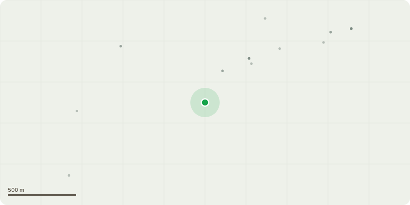
Approximate location
Proposal
Removal of (T1) an old walnut tree at the top end of a small field which was once an orchard (see sketch plan Ref1 and photograph Ref3). The tree has progressively leaned over (see photograph Ref3). The main tree trunk is now severely hollowed out (see photograph Ref2 and Ref4). Placing a bamboo into the hollow parallel to the ground shows the extent of the hollow to be 60cms, while the diameter of the tree at the same point is 80cms. Advice has been taken from two arborists who both think that just reducing the size of the tree, to decrease the weight of the upper part, would produce an unsatisfactory result. Replace with a fruit tree in keeping with the original use of the field as an orchard.
Key dates
- Received 15 Jul 2025
- Validated 15 Jul 2025
- Started 15 Jul 2025
- Decided 4 Sept 2025
Planning history / related applications
No related planning applications have been identified in the current public OGL dataset.
Inside plotEdge
Go beyond the public record
This page is the public OGL record. plotEdge adds the private intelligence layer for this site - open it in the app to unlock:
- Ownership & title Registered owner and title from HM Land Registry.
- Viability & build potential Site scoring and development upside.
- Constraints Flood risk, green belt, conservation areas and designations.
- Approval signal Planning risk and approval-likelihood analysis.
- Comparable applications Decisions on similar nearby sites, side by side.
- Status alerts Get notified the moment this application changes.
Source: public planning application data from South Downs National Park, reused under the Open Government Licence v3.0. View the council source record. Council documents and drawings are not republished on plotEdge.