South Downs National Park
South Downs National Park/SDNP/25/01428/LIC
Bramley Park Camping Wannock Road Polegate East Sussex BN26 5PH
- Reference
- South Downs National Park/SDNP/25/01428/LIC
- Authority
- South Downs National Park
- Application type
- LIC
- Address
- Bramley Park Camping Wannock Road Polegate East Sussex BN26 5PH
- Postcode
- BN26 5PH
- Status
- Application Determined
- Decision
- Licensed Premises Consult Response
- Received
- 28 Mar 2025
- Validated
- 28 Mar 2025
- Started
- 28 Mar 2025
- Decided
- 17 Apr 2025
- Source council
- South Downs National Park
- Council source record
- View public record
- Public data licence
- Open Government Licence v3.0
- Record updated
- 18 Jul 2026
- SEO index generated
- 24 Jul 2026
Location
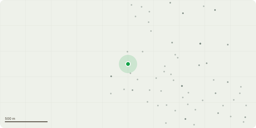
Approximate location
Proposal
Licensing consultation - premises licence (32763) - Family campsite with a Café and Bar area within approximately 13 acres of rural land, offering a mix of 30 camping pitches and 10 glamping pitches, designed to provide a tranquil outdoor experience for guests. The site is equipped with temporary moveable cabin units, which serve as essential facilities, including toilets, and showers. These facilities are in place during the campsite season which is April to October. The layout is designed to ensure adequate spacing between pitches, promoting a safe and comfortable environment. The premises operate in line with all relevant licensing, health, and safety regulations to provide a well-managed and responsible hospitality offering.
Key dates
- Received 28 Mar 2025
- Validated 28 Mar 2025
- Started 28 Mar 2025
- Decided 17 Apr 2025
Planning history / related applications
No related planning applications have been identified in the current public OGL dataset.
Inside plotEdge
Go beyond the public record
This page is the public OGL record. plotEdge adds the private intelligence layer for this site - open it in the app to unlock:
- Ownership & title Registered owner and title from HM Land Registry.
- Viability & build potential Site scoring and development upside.
- Constraints Flood risk, green belt, conservation areas and designations.
- Approval signal Planning risk and approval-likelihood analysis.
- Comparable applications Decisions on similar nearby sites, side by side.
- Status alerts Get notified the moment this application changes.
Source: public planning application data from South Downs National Park, reused under the Open Government Licence v3.0. View the council source record. Council documents and drawings are not republished on plotEdge.