South Downs National Park
South Downs National Park/SDNP/25/00134/TCA
Dymoke House Church Lane Easton Hampshire SO21 1EH
- Reference
- South Downs National Park/SDNP/25/00134/TCA
- Authority
- South Downs National Park
- Application type
- Trees in conservation area
- Address
- Dymoke House Church Lane Easton Hampshire SO21 1EH
- Postcode
- SO21 1EH
- Status
- Case Withdrawn
- Decision
- Application Withdrawn
- Received
- 14 Jan 2025
- Validated
- 14 Jan 2025
- Started
- 14 Jan 2025
- Decided
- 14 Jan 2025
- Source council
- South Downs National Park
- Council source record
- View public record
- Public data licence
- Open Government Licence v3.0
- Record updated
- 18 Jul 2026
- SEO index generated
- 24 Jul 2026
Location
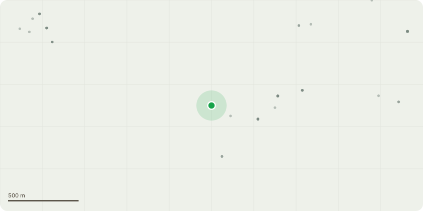
Approximate location
Proposal
Lime tree reduce by 50% about 10 metres or as little as we can in order just to make it safe. We will take your advice too on this. It's just about making it safe for the road and the houses around it. We would like to protect house, people and traffic from the tree falling or debris from tree falling. During the recent storms lots of its branches fell and we had to call SSEN power to look at the tree. He informed us the tree was infected with a fungus bracket called gandomera and the tree was leaning severely towards other properties. More worryingly he thought that in any high winds the tree was very likely to fall into the road and onto pedestrians and cars passing in church lane. His recommendation was to reduce the tree by at least 50 per cent
Key dates
- Received 14 Jan 2025
- Validated 14 Jan 2025
- Started 14 Jan 2025
- Decided 14 Jan 2025
Planning history / related applications
No related planning applications have been identified in the current public OGL dataset.
Inside plotEdge
Go beyond the public record
This page is the public OGL record. plotEdge adds the private intelligence layer for this site - open it in the app to unlock:
- Ownership & title Registered owner and title from HM Land Registry.
- Viability & build potential Site scoring and development upside.
- Constraints Flood risk, green belt, conservation areas and designations.
- Approval signal Planning risk and approval-likelihood analysis.
- Comparable applications Decisions on similar nearby sites, side by side.
- Status alerts Get notified the moment this application changes.
Source: public planning application data from South Downs National Park, reused under the Open Government Licence v3.0. View the council source record. Council documents and drawings are not republished on plotEdge.