South Downs National Park
South Downs National Park/SDNP/25/00099/BBPN
Tower Court Adhurst St. Mary London Road Sheet Petersfield Hampshire GU31 5AD
- Reference
- South Downs National Park/SDNP/25/00099/BBPN
- Authority
- South Downs National Park
- Application type
- BBPN
- Address
- Tower Court Adhurst St. Mary London Road Sheet Petersfield Hampshire GU31 5AD
- Postcode
- GU31 5AD
- Status
- Application Determined
- Decision
- Prior Approval Not Required
- Received
- 10 Jan 2025
- Validated
- 10 Jan 2025
- Started
- 10 Jan 2025
- Decided
- 3 Mar 2025
- Source council
- South Downs National Park
- Council source record
- View public record
- Public data licence
- Open Government Licence v3.0
- Record updated
- 18 Jul 2026
- SEO index generated
- 24 Jul 2026
Location
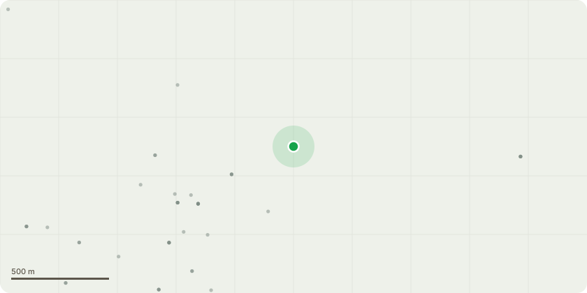
Approximate location
Proposal
WP1:- JRF10 London road, o/s The Lodge, GR 476562 124595Propose to intercept existing CJ6113 CHA-PCV No1 track joint in situ and create new small node. From new node propose approx. 400m COF250/12 to WP2WP2:- Adhurst St Mary, GU31 5AD. Drill hole into building and introduce cable next to existing D56 poke out. Internally, lay out fibers in new DCB, splice 5m SC tail, fit NTE, label and test as per INS.
Key dates
- Received 10 Jan 2025
- Validated 10 Jan 2025
- Started 10 Jan 2025
- Decided 3 Mar 2025
Planning history / related applications
No related planning applications have been identified in the current public OGL dataset.
Inside plotEdge
Go beyond the public record
This page is the public OGL record. plotEdge adds the private intelligence layer for this site - open it in the app to unlock:
- Ownership & title Registered owner and title from HM Land Registry.
- Viability & build potential Site scoring and development upside.
- Constraints Flood risk, green belt, conservation areas and designations.
- Approval signal Planning risk and approval-likelihood analysis.
- Comparable applications Decisions on similar nearby sites, side by side.
- Status alerts Get notified the moment this application changes.
Source: public planning application data from South Downs National Park, reused under the Open Government Licence v3.0. View the council source record. Council documents and drawings are not republished on plotEdge.