South Downs National Park
South Downs National Park/SDNP/24/04655/TCA
Riversdale Cottage High Street Meonstoke Hampshire SO32 3NH
- Reference
- South Downs National Park/SDNP/24/04655/TCA
- Authority
- South Downs National Park
- Application type
- Trees in conservation area
- Address
- Riversdale Cottage High Street Meonstoke Hampshire SO32 3NH
- Postcode
- SO32 3NH
- Status
- Application Determined
- Decision
- Raise No Objection
- Received
- 7 Nov 2024
- Validated
- 18 Nov 2024
- Started
- 18 Nov 2024
- Decided
- 2 Dec 2024
- Source council
- South Downs National Park
- Council source record
- View public record
- Public data licence
- Open Government Licence v3.0
- Record updated
- 18 Jul 2026
- SEO index generated
- 24 Jul 2026
Location
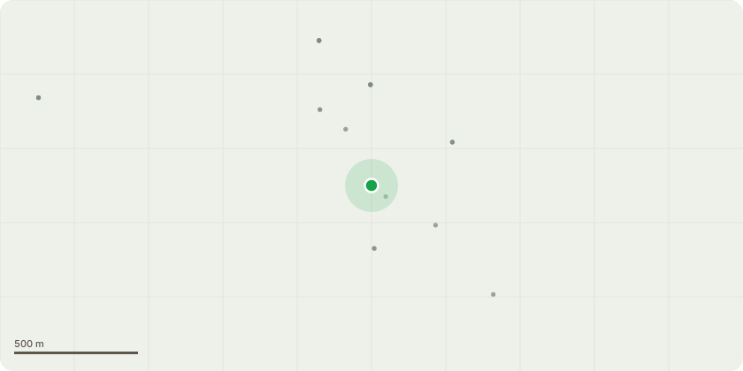
Approximate location
Proposal
Fell 2 no. multi-stemmed conifer trees. The trees are identified as T1 & T2 in the site map [sketch map 241106.jpg].Due to their proximity to the domestic Package Treatment Plant (PTP) drainage field, there is a significant risk of further root intrusion into the drainage field, which could compromise its integrity.These trees are not native English species.They are not of any landscape importance nor amenity value and have a very limited conservation or cultural benefit. The trees are of low quality and one (T1) might be supressing a Silver Birch (T3) in the neighbouring (Daisy Cottage) garden owing to its proximity.These trees are not subject to any Tree Preservation Order (TPO). The replacement of the septic tank was not optional as it was found to be non-compliant with the Environment Agency's mandatory General Binding Rules. The replacement system, a domestic PTP requires a drainage field to treat the discharge. The size and location of the drainage field is restricted by minimum distances from watercourses, buildings and other soakaways. Excavation of the drainage field to the prescribed depth revealed root intrusion by the conifer trees into the designated area.The site is well served by mature trees around all sides and in all adjoining gardens.
Key dates
- Received 7 Nov 2024
- Validated 18 Nov 2024
- Started 18 Nov 2024
- Decided 2 Dec 2024
Planning history / related applications
No related planning applications have been identified in the current public OGL dataset.
Inside plotEdge
Go beyond the public record
This page is the public OGL record. plotEdge adds the private intelligence layer for this site - open it in the app to unlock:
- Ownership & title Registered owner and title from HM Land Registry.
- Viability & build potential Site scoring and development upside.
- Constraints Flood risk, green belt, conservation areas and designations.
- Approval signal Planning risk and approval-likelihood analysis.
- Comparable applications Decisions on similar nearby sites, side by side.
- Status alerts Get notified the moment this application changes.
Source: public planning application data from South Downs National Park, reused under the Open Government Licence v3.0. View the council source record. Council documents and drawings are not republished on plotEdge.