South Downs National Park
South Downs National Park/SDNP/24/02624/FUL
Blacknest Golf Centre Blacknest Road Binsted Alton Hampshire GU34 4QL
- Reference
- South Downs National Park/SDNP/24/02624/FUL
- Authority
- South Downs National Park
- Application type
- Full permission
- Address
- Blacknest Golf Centre Blacknest Road Binsted Alton Hampshire GU34 4QL
- Postcode
- GU34 4QL
- Status
- Application Determined
- Decision
- Refused
- Received
- 28 Jun 2024
- Validated
- 9 Jul 2024
- Started
- 9 Jul 2024
- Decided
- 3 Oct 2024
- Source council
- South Downs National Park
- Council source record
- View public record
- Public data licence
- Open Government Licence v3.0
- Record updated
- 18 Jul 2026
- SEO index generated
- 24 Jul 2026
Location
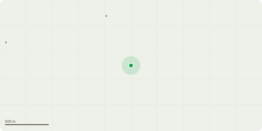
Approximate location
Proposal
Erection of 2 pickleball courts with bar and PV panels, and extension of covered walkway to link with Clubhouse. Erection of padel court with canopy roof. Installation of family putting course. Alterations to clubhouse to convert pro-shop into function room with new porch, erection of single storey extension in servicing yard, conversion of function room into changing rooms, conversion of storage rooms to sports reception and covered trolley store, and erect new covered buggy store, with associated internal alterations. Erection of 56 pre-fabricated eco-cabins and 11 associated canopies and reception building with associated footpaths and landscaping. Extension to facilities outbuilding for laundry room. Convert events office outbuilding into luggage store. Relocation of car park, alterations to existing overflow car park with 2 new bridges. Landscaping alterations to existing car park to create the courtyard. Alterations to Greenkeepers shed and yard. With associated demolitions, landscaping works, footpaths and other associated works.
Key dates
- Received 28 Jun 2024
- Validated 9 Jul 2024
- Started 9 Jul 2024
- Decided 3 Oct 2024
Planning history / related applications
No related planning applications have been identified in the current public OGL dataset.
Inside plotEdge
Go beyond the public record
This page is the public OGL record. plotEdge adds the private intelligence layer for this site - open it in the app to unlock:
- Ownership & title Registered owner and title from HM Land Registry.
- Viability & build potential Site scoring and development upside.
- Constraints Flood risk, green belt, conservation areas and designations.
- Approval signal Planning risk and approval-likelihood analysis.
- Comparable applications Decisions on similar nearby sites, side by side.
- Status alerts Get notified the moment this application changes.
Source: public planning application data from South Downs National Park, reused under the Open Government Licence v3.0. View the council source record. Council documents and drawings are not republished on plotEdge.