South Cambridgeshire
South Cambridgeshire/24/0959/TTPO
11 Savile Way Fowlmere Cambridgeshire SG8 7TU
- Reference
- South Cambridgeshire/24/0959/TTPO
- Authority
- South Cambridgeshire
- Application type
- TTPO
- Address
- 11 Savile Way Fowlmere Cambridgeshire SG8 7TU
- Postcode
- SG8 7TU
- Status
- Decided
- Decision
- Refused Permission
- Received
- 3 Sept 2024
- Validated
- 3 Sept 2024
- Started
- 3 Sept 2024
- Decided
- 9 Oct 2024
- Source council
- South Cambridgeshire
- Council source record
- View public record
- Public data licence
- Open Government Licence v3.0
- Record updated
- 18 Jul 2026
- SEO index generated
- 24 Jul 2026
Location
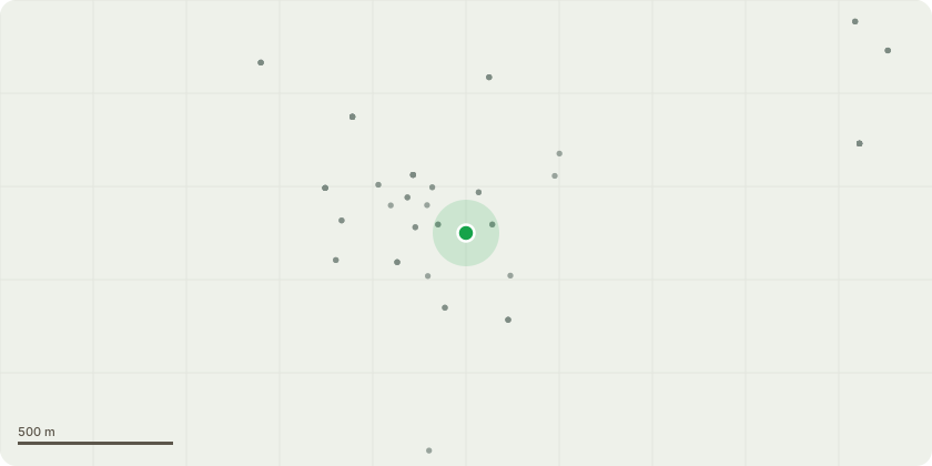
Approximate location
Proposal
x3 ash trees - which are approximately 8-10 metres tall and are approximately 6 metres from the wall of my house. I am proposing to reduce the height of the trees to below the gutter level of my house which is approximately 5 meters.Reasons:Having renewed my house insurance recently, some policies had penalties or higher premiums due to the height of the trees within close proximity to the house. I have lived in the house since 1989 and over time the trees have grown significantly. The height of the trees in such close proximity restrict the light to my house which means on the ground floor kitchen I often have to still use a light even in summer. Reducing the height of the trees will permit more light into my house. The garden it self has over time become more and more overshadowed by the trees. They impose shade for all but a few hours of the day. Also pollarding the trees will continue to keep them in good health.
Key dates
- Received 3 Sept 2024
- Validated 3 Sept 2024
- Started 3 Sept 2024
- Decided 9 Oct 2024
Planning history / related applications
No related planning applications have been identified in the current public OGL dataset.
Inside plotEdge
Go beyond the public record
This page is the public OGL record. plotEdge adds the private intelligence layer for this site - open it in the app to unlock:
- Ownership & title Registered owner and title from HM Land Registry.
- Viability & build potential Site scoring and development upside.
- Constraints Flood risk, green belt, conservation areas and designations.
- Approval signal Planning risk and approval-likelihood analysis.
- Comparable applications Decisions on similar nearby sites, side by side.
- Status alerts Get notified the moment this application changes.
Source: public planning application data from South Cambridgeshire, reused under the Open Government Licence v3.0. View the council source record. Council documents and drawings are not republished on plotEdge.