South Cambridgeshire
South Cambridgeshire/24/02906/S73
Barns South Of Howards Lane Cardinals Green Horseheath CB21 4QX
- Reference
- South Cambridgeshire/24/02906/S73
- Authority
- South Cambridgeshire
- Application type
- S
- Address
- Barns South Of Howards Lane Cardinals Green Horseheath CB21 4QX
- Postcode
- CB21 4QX
- Status
- Decided
- Decision
- Granted Permission
- Received
- 2 Aug 2024
- Validated
- 2 Aug 2024
- Started
- 2 Aug 2024
- Decided
- 26 Feb 2025
- Source council
- South Cambridgeshire
- Council source record
- View public record
- Public data licence
- Open Government Licence v3.0
- Record updated
- 18 Jul 2026
- SEO index generated
- 24 Jul 2026
Location
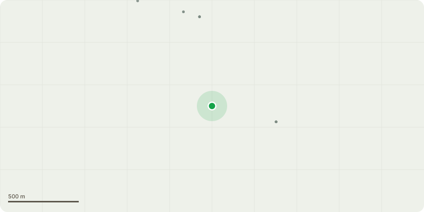
Approximate location
Proposal
S73 application to vary conditions 2 (Approved plans), 6 (Boundary treatment), 7 (Landscaping), 8 (Surface water drainage) and 12 (Drainage plan) of planning permission 22/03301/S73 (S73 Variation of conditions 2 (Approved plans), 3 (Contamination), 6 Boundary Treatment), 7 (Existing trees and hedgerows), 8 (Surface water and foul water drainage), 12 (Drainage measures), 14 (Carbon emissions) of planning permission 20/03688/FUL (Demolition of existing barns and erection of a new dwelling, reflecting the permitted barn conversion and reducing the level of the building, and erection of a detached cartlodge, change of use of agricultural land to garden curtilage and associated landscaping) Change to the balcony on the first floor of the southern building to make this a Juliet balcony rather than a conventional balcony, Re-introduction of an external door opening on the north building to give access to the plant room, there was a door in the now demolished building in the location of the new external door, Change to design of the roof of the link building to create a pitched roof, New roof light layout on the northern building, Relocation of photovoltaic panels to the roof of the cartlodge, Addition of metal-facing garage doors in slate grey to the cartlodge and Changes to the internal room layout) to change the underground storage tank to an attenuation basin.
Key dates
- Received 2 Aug 2024
- Validated 2 Aug 2024
- Started 2 Aug 2024
- Decided 26 Feb 2025
Planning history / related applications
No related planning applications have been identified in the current public OGL dataset.
Inside plotEdge
Go beyond the public record
This page is the public OGL record. plotEdge adds the private intelligence layer for this site - open it in the app to unlock:
- Ownership & title Registered owner and title from HM Land Registry.
- Viability & build potential Site scoring and development upside.
- Constraints Flood risk, green belt, conservation areas and designations.
- Approval signal Planning risk and approval-likelihood analysis.
- Comparable applications Decisions on similar nearby sites, side by side.
- Status alerts Get notified the moment this application changes.
Source: public planning application data from South Cambridgeshire, reused under the Open Government Licence v3.0. View the council source record. Council documents and drawings are not republished on plotEdge.