Solihull
Solihull/PL/2026/00986/TPO
2 Mill Lane Bentley Heath Solihull B93 8PB
- Reference
- Solihull/PL/2026/00986/TPO
- Authority
- Solihull
- Application type
- Tree preservation order
- Address
- 2 Mill Lane Bentley Heath Solihull B93 8PB
- Postcode
- B93 8PB
- Status
- Awaiting decision
- Received
- 21 May 2026
- Started
- 21 May 2026
- Source council
- Solihull
- Council source record
- View public record
- Public data licence
- Open Government Licence v3.0
- Record updated
- 18 Jul 2026
- SEO index generated
- 24 Jul 2026
Location
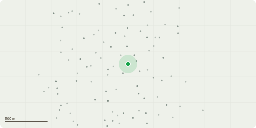
Approximate location
Proposal
Reduce radial spread of oak tree T001 by 1-2m to suitable growing points to mitigate the risk of branch failure onto road and garden. Branches are slightly overextended and subsiding under their own weight. Light end weight reduction will have a minimal impact on visual amenity and reduce the risk of branch failures that would be to the detriment of visual amenity. Works will also mitigate the impact on living conditions within the garden and improve usable outdoor amenity space. Also remove deadwood under exemption. Reduce oak tree T002 and reshape the canopy by reduction of independent branches by 2-3m to suitable growing points to balance the canopy. Not required on East side. The canopy is significantly unbalanced as a result of lost companion shelter that occurred previously. Branches are also exposed to weather conditions that they are not biomechanically optimised for, and so reduction will offset the risk of branch failures while the tree acclimates. Works will also mitigate the impact on living conditions within the garden and improve usable outdoor amenity space. Also remove deadwood under exemption.
Key dates
- Received 21 May 2026
- Started 21 May 2026
Planning history / related applications
No related planning applications have been identified in the current public OGL dataset.
Inside plotEdge
Go beyond the public record
This page is the public OGL record. plotEdge adds the private intelligence layer for this site - open it in the app to unlock:
- Ownership & title Registered owner and title from HM Land Registry.
- Viability & build potential Site scoring and development upside.
- Constraints Flood risk, green belt, conservation areas and designations.
- Approval signal Planning risk and approval-likelihood analysis.
- Comparable applications Decisions on similar nearby sites, side by side.
- Status alerts Get notified the moment this application changes.
Source: public planning application data from Solihull, reused under the Open Government Licence v3.0. View the council source record. Council documents and drawings are not republished on plotEdge.