Solihull
Solihull/PL/2026/00627/MINFHO
153 Danford Lane Solihull B91 1QQ
- Reference
- Solihull/PL/2026/00627/MINFHO
- Authority
- Solihull
- Application type
- MINFHO
- Address
- 153 Danford Lane Solihull B91 1QQ
- Postcode
- B91 1QQ
- Status
- Decided
- Decision
- Refused
- Received
- 31 Mar 2026
- Validated
- 31 Mar 2026
- Started
- 31 Mar 2026
- Decided
- 23 Jun 2026
- Source council
- Solihull
- Council source record
- View public record
- Public data licence
- Open Government Licence v3.0
- Record updated
- 18 Jul 2026
- SEO index generated
- 24 Jul 2026
Location
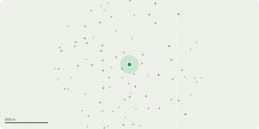
Approximate location
Proposal
Convert existing detached garage/outbuilding within the rear curtilage of the dwelling into a fully insulated ancillary annex for purposes incidental to the main dwellinghouse. The development retains the existing building footprint and includes the replacement of the existing roof with a mansard form pitched at approximately 55 degrees. The proposal introduces a modest rear dormer, front roof light, and a flat roof light at the crown to provide natural daylight and a compliant means of escape from the mezzanine level. Internally, the ground floor will comprise an open plan living and kitchen area, with a mezzanine level providing a bedroom and en suite shower room. The layout is designed to provide adaptable accommodation suitable for family members, including those with mobility needs. The annex will remain ancillary to the main dwelling and will not form a separate planning unit. There is no separate curtilage, all services and utilities are shared with the host dwelling, and there is no independent access from the public highway. Access is provided solely within the residential curtilage for safety and fire compliance.
Key dates
- Received 31 Mar 2026
- Validated 31 Mar 2026
- Started 31 Mar 2026
- Decided 23 Jun 2026
Planning history / related applications
No related planning applications have been identified in the current public OGL dataset.
Inside plotEdge
Go beyond the public record
This page is the public OGL record. plotEdge adds the private intelligence layer for this site - open it in the app to unlock:
- Ownership & title Registered owner and title from HM Land Registry.
- Viability & build potential Site scoring and development upside.
- Constraints Flood risk, green belt, conservation areas and designations.
- Approval signal Planning risk and approval-likelihood analysis.
- Comparable applications Decisions on similar nearby sites, side by side.
- Status alerts Get notified the moment this application changes.
Source: public planning application data from Solihull, reused under the Open Government Licence v3.0. View the council source record. Council documents and drawings are not republished on plotEdge.