Solihull
Solihull/PL/2025/01966/PPFL
23 Jubilee Walk Touchwood Solihull B91 3HT
- Reference
- Solihull/PL/2025/01966/PPFL
- Authority
- Solihull
- Application type
- PPFL
- Address
- 23 Jubilee Walk Touchwood Solihull B91 3HT
- Postcode
- B91 3HT
- Status
- Decided
- Decision
- Approved
- Received
- 17 Oct 2025
- Validated
- 22 Oct 2025
- Started
- 22 Oct 2025
- Decided
- 21 Jan 2026
- Source council
- Solihull
- Council source record
- View public record
- Public data licence
- Open Government Licence v3.0
- Record updated
- 18 Jul 2026
- SEO index generated
- 24 Jul 2026
Location
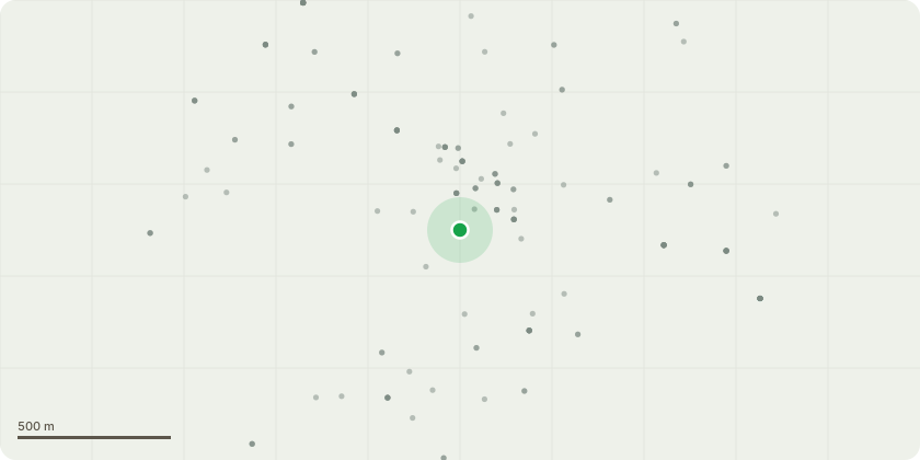
Approximate location
Proposal
Installation of a raised composite decking area (approximately one step above existing level) with frameless glass balustrade. A low-level wall will be constructed along the line of the existing railings, wrapping around both ends of the terrace. Fixed banquette seating will be incorporated within the terrace area, with a timber pergola structure above extending the full width of the terrace to provide partial cover and definition to the outdoor dining space. External feature lighting and artificial planting will be integrated within the design to enhance the appearance and ambience of the terrace, complementing the existing restaurant frontage which is to have the aluminum framework sprayed black on the ground floor glazed facade to best suit. Materials will include composite decking, clear laminated glass, and stained timber to coordinate with the existing building. The proposal forms part of the external dining area associated with the existing restaurant.
Key dates
- Received 17 Oct 2025
- Validated 22 Oct 2025
- Started 22 Oct 2025
- Decided 21 Jan 2026
Planning history / related applications
No related planning applications have been identified in the current public OGL dataset.
Inside plotEdge
Go beyond the public record
This page is the public OGL record. plotEdge adds the private intelligence layer for this site - open it in the app to unlock:
- Ownership & title Registered owner and title from HM Land Registry.
- Viability & build potential Site scoring and development upside.
- Constraints Flood risk, green belt, conservation areas and designations.
- Approval signal Planning risk and approval-likelihood analysis.
- Comparable applications Decisions on similar nearby sites, side by side.
- Status alerts Get notified the moment this application changes.
Source: public planning application data from Solihull, reused under the Open Government Licence v3.0. View the council source record. Council documents and drawings are not republished on plotEdge.