Solihull
Solihull/PL/2024/02100/NONMC
De Vere Village Hotel Dog Kennel Lane Shirley Solihull B90 4JG
- Reference
- Solihull/PL/2024/02100/NONMC
- Authority
- Solihull
- Application type
- NONMC
- Address
- De Vere Village Hotel Dog Kennel Lane Shirley Solihull B90 4JG
- Postcode
- B90 4JG
- Status
- Decided
- Decision
- Approved
- Received
- 8 Oct 2024
- Validated
- 8 Oct 2024
- Started
- 8 Oct 2024
- Decided
- 4 Nov 2024
- Source council
- Solihull
- Council source record
- View public record
- Public data licence
- Open Government Licence v3.0
- Record updated
- 18 Jul 2026
- SEO index generated
- 24 Jul 2026
Location
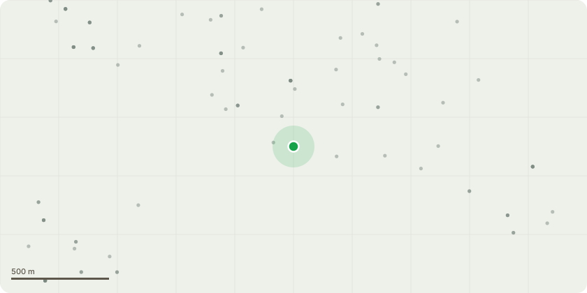
Approximate location
Proposal
Amendments to planning permission 11th July 2024 (PL/2024/00011/PPFL) 48 bedroom extension to the existing Village Hotel Solihull including reconfiguration of the existing car park, landscaping and associated works. Namely: Increased ground floor footprint to include additional storage, plant area & incoming comms room - Doors relocated to suit. External hard standing/landscaping to be realigned. Circular columns omitted and brick piers shown in lieu. Location of bedroom windows adjusted to suit uniform cladding panel sizes. Stair lobby strip curtain windows omitted to the gable end elevation. Black cladding panels omitted from the ground to first floor columns and black brickwork shown in lieu. Black cladding to ground floor staircase and plantroom omitted and black brickwork shown in lieu. Vertical cladding panels omitted, and horizontal cladding panels shown in lieu. Strip curtain walling to side elevation omitted and black cladding panels shown in lieu. Overall building/parapet height and massing remains as approved. The bedroom floor to floor height has increased from 2700mm to 2780mm to take account of structure & MEP requirements. Location of external doors adjusted to suit revised ground floor footprint.
Key dates
- Received 8 Oct 2024
- Validated 8 Oct 2024
- Started 8 Oct 2024
- Decided 4 Nov 2024
Planning history / related applications
No related planning applications have been identified in the current public OGL dataset.
Inside plotEdge
Go beyond the public record
This page is the public OGL record. plotEdge adds the private intelligence layer for this site - open it in the app to unlock:
- Ownership & title Registered owner and title from HM Land Registry.
- Viability & build potential Site scoring and development upside.
- Constraints Flood risk, green belt, conservation areas and designations.
- Approval signal Planning risk and approval-likelihood analysis.
- Comparable applications Decisions on similar nearby sites, side by side.
- Status alerts Get notified the moment this application changes.
Source: public planning application data from Solihull, reused under the Open Government Licence v3.0. View the council source record. Council documents and drawings are not republished on plotEdge.