Solihull
Solihull/PL/2024/01875/HS2DIS
BBV M42 West Box Junction Compound South Marston Green Birmingham B40 1QA (closest Postcode)
- Reference
- Solihull/PL/2024/01875/HS2DIS
- Authority
- Solihull
- Application type
- HSDIS
- Address
- BBV M42 West Box Junction Compound South Marston Green Birmingham B40 1QA (closest Postcode)
- Postcode
- B40 1QA
- Status
- Decided
- Decision
- Approved
- Received
- 20 Sept 2024
- Validated
- 20 Sept 2024
- Started
- 20 Sept 2024
- Decided
- 20 Dec 2024
- Source council
- Solihull
- Council source record
- View public record
- Public data licence
- Open Government Licence v3.0
- Record updated
- 18 Jul 2026
- SEO index generated
- 24 Jul 2026
Location
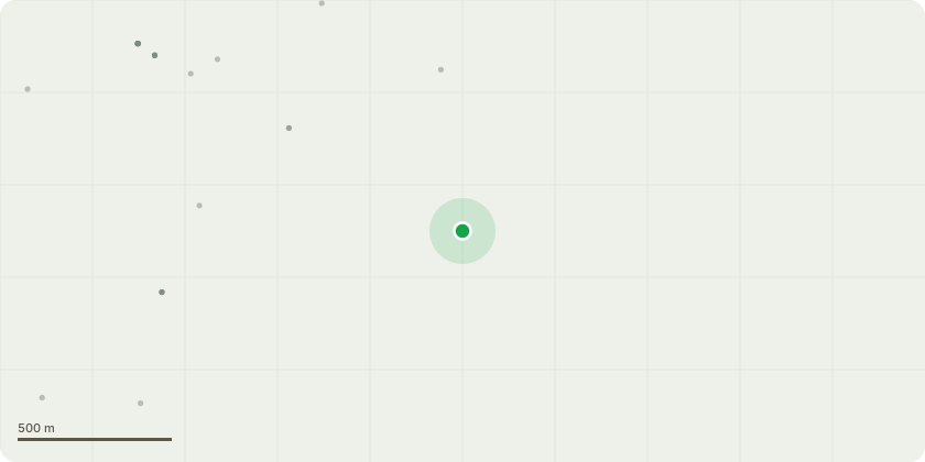
Approximate location
Proposal
Plans and Specifications submission under Schedule 17 (6) of the High Speed Rail (London-West Midlands) Act 2017 for approval of lorry routes to/from the above site for works comprising: All HS2 works comprising and associated with the works of M42 West Box Junction compound is in support of our Main Works Civils Contract (MWCC). This entails but not limited to; staff offices, welfare area, storage area for aggregates and precast units, noise barriers, topsoil and subsoil remediation, earthworks, box structure construction, delivery and installation of pre-cast beams for the construction of the box junctions and all works associated with the M42 Twin Box works throughout the compound lifecycle. M42 West Box Junction: Inbound Route: Construction traffic will exit the A446 onto the Coleshill Heath Road (CHR), continue down the CHR to the roundabout and take the 1st exit onto the A452 southbound, in approximately. 1km enter the traffic management on the closed A452 slip and enter site via the purpose-built site entrance. Outbound Route: Construction traffic will leave the site by turning left only onto A452, at the roundabout take the second exit onto the A452 southbound and rejoin the Strategic Road Network (SRN).
Key dates
- Received 20 Sept 2024
- Validated 20 Sept 2024
- Started 20 Sept 2024
- Decided 20 Dec 2024
Planning history / related applications
No related planning applications have been identified in the current public OGL dataset.
Inside plotEdge
Go beyond the public record
This page is the public OGL record. plotEdge adds the private intelligence layer for this site - open it in the app to unlock:
- Ownership & title Registered owner and title from HM Land Registry.
- Viability & build potential Site scoring and development upside.
- Constraints Flood risk, green belt, conservation areas and designations.
- Approval signal Planning risk and approval-likelihood analysis.
- Comparable applications Decisions on similar nearby sites, side by side.
- Status alerts Get notified the moment this application changes.
Source: public planning application data from Solihull, reused under the Open Government Licence v3.0. View the council source record. Council documents and drawings are not republished on plotEdge.