Slough
Slough/TPO/2026/3
Langley Park, Waterside Drive, Slough, SL3 6AD
- Reference
- Slough/TPO/2026/3
- Authority
- Slough
- Application type
- Tree Application for Works
- Address
- Langley Park, Waterside Drive, Slough, SL3 6AD
- Postcode
- SL3 6AD
- Status
- Decided
- Decision
- Approved with Conditions; Informatives
- Received
- 17 Feb 2026
- Validated
- 18 Feb 2026
- Started
- 18 Feb 2026
- Decided
- 26 Mar 2026
- Source council
- Slough
- Council source record
- View public record
- Public data licence
- Open Government Licence v3.0
- Record updated
- 18 Jul 2026
- SEO index generated
- 24 Jul 2026
Location
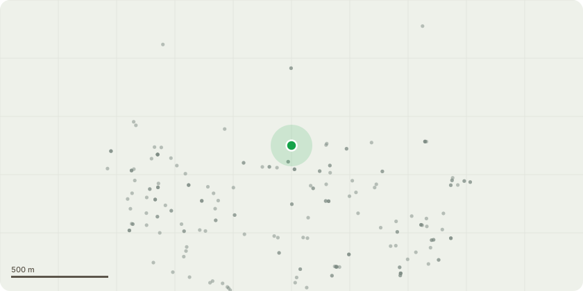
Approximate location
Proposal
2. Tree Works G1: Mini Pollarding of Lime Trees: All Lime trees along the footpath will be mini pollarded to reduce canopy weight and limit future root expansion. This proactive management will help preserve the footpath and reduce the likelihood of further deterioration. Tree Removal at Each End: Two Lime trees located at either end of the footpath will be felled due to significant impact on the paving. Stump grinding will be carried out to prepare the area for paving reinstatement. 2. Footpath Restoration: Following completion of tree works, our team will attend site to relay the paving slabs around the areas where the two end trees have been removed. All paving will be laid flat and level to eliminate trip hazards and ensure safe pedestrian access. Preventative Measures: By implementing mini pollarding and ongoing tree management, we aim to prevent further damage to the footpath and avoid the need for future tree removals. A highlighted Google image will be used to mark the location of the trees and the areas affected, supporting clear communication and planning.
Key dates
- Received 17 Feb 2026
- Validated 18 Feb 2026
- Started 18 Feb 2026
- Decided 26 Mar 2026
Planning history / related applications
No related planning applications have been identified in the current public OGL dataset.
Inside plotEdge
Go beyond the public record
This page is the public OGL record. plotEdge adds the private intelligence layer for this site - open it in the app to unlock:
- Ownership & title Registered owner and title from HM Land Registry.
- Viability & build potential Site scoring and development upside.
- Constraints Flood risk, green belt, conservation areas and designations.
- Approval signal Planning risk and approval-likelihood analysis.
- Comparable applications Decisions on similar nearby sites, side by side.
- Status alerts Get notified the moment this application changes.
Source: public planning application data from Slough, reused under the Open Government Licence v3.0. View the council source record. Council documents and drawings are not republished on plotEdge.