Slough
Slough/P/06954/042
Rear Of Atria House, 219, Bath Road, Slough, SL1 4AA
- Reference
- Slough/P/06954/042
- Authority
- Slough
- Application type
- S106 Deed of Variation
- Address
- Rear Of Atria House, 219, Bath Road, Slough, SL1 4AA
- Postcode
- SL1 4AA
- Status
- Registered
- Received
- 12 Jun 2026
- Validated
- 16 Jun 2026
- Started
- 16 Jun 2026
- Source council
- Slough
- Council source record
- View public record
- Public data licence
- Open Government Licence v3.0
- Record updated
- 18 Jul 2026
- SEO index generated
- 24 Jul 2026
Location
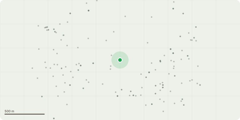
Approximate location
Proposal
Application to vary S106 Agreement pursuant to planning permission (P/06954/030) for the Modification of Schedule 2 (Affordable Housing Obligations): removal of the on-site affordable housing requirement and its replacement with a late-stage viability review mechanism, under which a deferred commuted contribution would become payable only if profitability thresholds are exceeded upon completion and sale of the development; and Modification of Schedule 3 (Highway Works Triggers): relaxation of the occupation trigger for the toucan crossing at the Bath Road/Leigh Road junction, so that occupation is not prevented pending completion of the highway works but is instead linked to the execution of the Section 278 Agreement, the approval of the detailed highway design, the provision of a bond or security, an agreed delivery programme, and, if required, a capped occupation threshold.
Key dates
- Received 12 Jun 2026
- Validated 16 Jun 2026
- Started 16 Jun 2026
Planning history / related applications
No related planning applications have been identified in the current public OGL dataset.
Inside plotEdge
Go beyond the public record
This page is the public OGL record. plotEdge adds the private intelligence layer for this site - open it in the app to unlock:
- Ownership & title Registered owner and title from HM Land Registry.
- Viability & build potential Site scoring and development upside.
- Constraints Flood risk, green belt, conservation areas and designations.
- Approval signal Planning risk and approval-likelihood analysis.
- Comparable applications Decisions on similar nearby sites, side by side.
- Status alerts Get notified the moment this application changes.
Source: public planning application data from Slough, reused under the Open Government Licence v3.0. View the council source record. Council documents and drawings are not republished on plotEdge.