Sevenoaks
Sevenoaks/25/03521/LBCALT
The White House High Street Farningham Kent DA4 0DH
- Reference
- Sevenoaks/25/03521/LBCALT
- Authority
- Sevenoaks
- Application type
- LBCALT
- Address
- The White House High Street Farningham Kent DA4 0DH
- Postcode
- DA4 0DH
- Status
- Refused
- Decision
- Refused
- Received
- 17 Dec 2025
- Validated
- 13 Jan 2026
- Started
- 13 Jan 2026
- Decided
- 9 Mar 2026
- Source council
- Sevenoaks
- Council source record
- View public record
- Public data licence
- Open Government Licence v3.0
- Record updated
- 18 Jul 2026
- SEO index generated
- 24 Jul 2026
Location
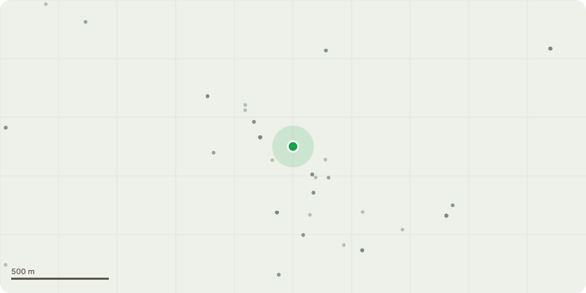
Approximate location
Proposal
Removal of existing plain tiles and dilapidated leadwork to gutters, valleys, hips and ridges etc. Once completely stripped, and appropriate intra-rafter quilt insulation fitted, overlay breathable membrane to existing rafters/hips etc. Retile on tanalised softwood tiling battens - selecting appropriate tiles for re-use within inner (concealed) roof slope and new matching plain clay tiles to outer 4-sided perimeter hipped roof. Plain tiles fixed with 30mm alloy tile nails each 5th course. New code 5 lead sheet fitted to outer box gutter including lapped and welted expansion joints. Leadwork replaced to bay roofs to front elevation, hips and ridge with correct welded sections and dressing to existing chimney stacks. Inner roof fitted with Code 5 lead as above with overflow channels/spouts through tiled zone. Perimeter parapet dressed in Code 5 lead. New 'loft' access frame and door fitted to provide access, with upstands and cover lid dressed in Code 5 lead. Lead treated with patination oil upon completion.
Key dates
- Received 17 Dec 2025
- Validated 13 Jan 2026
- Started 13 Jan 2026
- Decided 9 Mar 2026
Planning history / related applications
No related planning applications have been identified in the current public OGL dataset.
Inside plotEdge
Go beyond the public record
This page is the public OGL record. plotEdge adds the private intelligence layer for this site - open it in the app to unlock:
- Ownership & title Registered owner and title from HM Land Registry.
- Viability & build potential Site scoring and development upside.
- Constraints Flood risk, green belt, conservation areas and designations.
- Approval signal Planning risk and approval-likelihood analysis.
- Comparable applications Decisions on similar nearby sites, side by side.
- Status alerts Get notified the moment this application changes.
Source: public planning application data from Sevenoaks, reused under the Open Government Licence v3.0. View the council source record. Council documents and drawings are not republished on plotEdge.