Rushcliffe
Rushcliffe/24/02104/TPO
The Whitehouse 5 Cherryholt Lane East Bridgford Nottinghamshire NG13 8PN
- Reference
- Rushcliffe/24/02104/TPO
- Authority
- Rushcliffe
- Application type
- Tree preservation order
- Address
- The Whitehouse 5 Cherryholt Lane East Bridgford Nottinghamshire NG13 8PN
- Postcode
- NG13 8PN
- Decision
- Grant consent subject to conditions
- Received
- 10 Dec 2024
- Validated
- 10 Dec 2024
- Started
- 10 Dec 2024
- Decided
- 4 Feb 2025
- Source council
- Rushcliffe
- Council source record
- View public record
- Public data licence
- Open Government Licence v3.0
- Record updated
- 18 Jul 2026
- SEO index generated
- 24 Jul 2026
Location
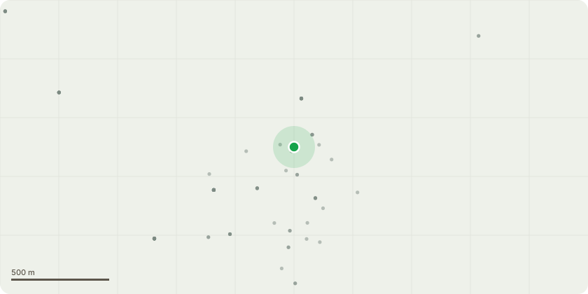
Approximate location
Proposal
T1 Cedar- 30% reduction, Crown lift, Major dead wood, slight thin to allow the wind to pass through the canopy easier. T2 Cedar- 30% reduction, Crown lift, Major dead wood, slight thin to allow the wind to pass through the canopy easier. T3 Cedar- 30% reduction, Major dead wood, slight thin to allow the wind to pass through the canopy easier.T4 Cherry trees- A group or Cherrys all grown next to one another, 30% reduction, majoy dead wood. T5 Redwood- Crown lift to allow more liught into the windows whilst removing it from touching the house. T6 Yew- Crown lift to allow more light to shrubs below, Ivy severed to prevent it from growing in the canopy. T7 Horn Beams- A group of Horn Beams originally planted up against the side of the house around 3ft max from the wall, are to all be cut down to prevent any damage in the future being done to the house foundations, as they have been left to grow for to long without any maintaince being done to help maintain where they were put.
Key dates
- Received 10 Dec 2024
- Validated 10 Dec 2024
- Started 10 Dec 2024
- Decided 4 Feb 2025
Planning history / related applications
No related planning applications have been identified in the current public OGL dataset.
Inside plotEdge
Go beyond the public record
This page is the public OGL record. plotEdge adds the private intelligence layer for this site - open it in the app to unlock:
- Ownership & title Registered owner and title from HM Land Registry.
- Viability & build potential Site scoring and development upside.
- Constraints Flood risk, green belt, conservation areas and designations.
- Approval signal Planning risk and approval-likelihood analysis.
- Comparable applications Decisions on similar nearby sites, side by side.
- Status alerts Get notified the moment this application changes.
Source: public planning application data from Rushcliffe, reused under the Open Government Licence v3.0. View the council source record. Council documents and drawings are not republished on plotEdge.