Runnymede
Runnymede/RU.26/0938
Trotsworth Court Christchurch Road Virginia Water Surrey GU25 4AG
- Reference
- Runnymede/RU.26/0938
- Authority
- Runnymede
- Address
- Trotsworth Court Christchurch Road Virginia Water Surrey GU25 4AG
- Postcode
- GU25 4AG
- Status
- REGISTERED
- Received
- 17 Jul 2026
- Started
- 17 Jul 2026
- Source council
- Runnymede
- Council source record
- View public record
- Public data licence
- Open Government Licence v3.0
- Record updated
- 21 Jul 2026
- SEO index generated
- 24 Jul 2026
Location
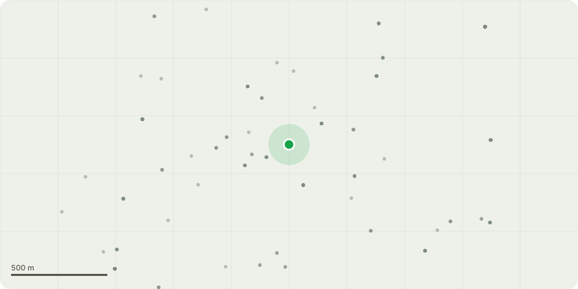
Approximate location
Proposal
T3 - Lime - reduce back by 4m to previous pruning points to leave a finished height of 17m The tree has several defects: significant cavity developing at 3m, acceptable condition at present, significant included bark, multi bleeds on eastern side of stem from ground to 2m, poor primary union at 2m. These are the current spread dimensions: 10.5m to N; 7.5m to E; 6m to S; 8m to W T5 - Lime - raise canopy over road up to 5.5m and reduce canopy over Block F to allow 2m clearance from building and road to comply with Highways regulations T6 - Lime - raise canopy to 2.5m over footpath to comply with Highways regulations G9 - Lime - fell to 5m fork - previous branch failure - asymmetrical canopy, large diameter decaying stub at 4m where stem failed, excessive epicormic growth suggests declining physiological condition, significant die back to top of canopy, sounding mallet suggests excessive decay to the base of the stem. G3 - Robinia - fell - heavily leaning over road, woodpecker hole in main stem at approx 5m, significant dead wood, significatn decay to main stem indicated by woodpecker hole G19 & G3 - group of Sycamore and Robinia - raise canopies up to 5.5m and remove large Robinia leader leaning over road to comply with Highways regulations
Key dates
- Received 17 Jul 2026
- Started 17 Jul 2026
Planning history / related applications
No related planning applications have been identified in the current public OGL dataset.
Inside plotEdge
Go beyond the public record
This page is the public OGL record. plotEdge adds the private intelligence layer for this site - open it in the app to unlock:
- Ownership & title Registered owner and title from HM Land Registry.
- Viability & build potential Site scoring and development upside.
- Constraints Flood risk, green belt, conservation areas and designations.
- Approval signal Planning risk and approval-likelihood analysis.
- Comparable applications Decisions on similar nearby sites, side by side.
- Status alerts Get notified the moment this application changes.
Source: public planning application data from Runnymede, reused under the Open Government Licence v3.0. View the council source record. Council documents and drawings are not republished on plotEdge.